Area Overview for KT19 9UH
Photos of KT19 9UH
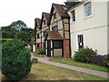
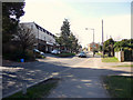
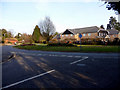
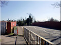
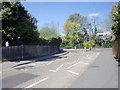
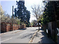
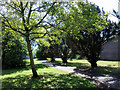

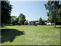
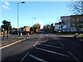
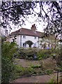
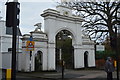
100 photos from this area
Area Information
Key information about the KT19 9UH including its size, population, and administrative classification.
- Area Type
- Postcode
- Area Size
- 1.5 hectares
- Population
- 2009
- Population Density
- 7107 people/km²
House Prices in KT19 9UH
27
Properties
£317,026
Average Sold Price
£37,500
Lowest Price
£690,000
Highest Price
Showing 27 properties
| Address | Type | Beds | Baths | Last Sale Price | Last Sale Date | |
|---|---|---|---|---|---|---|
| 26 Station Avenue, West Ewell, KT19 9UH | Terraced | 4 | 2 | £690,000 | Nov 2023 | |
| 18A Station Avenue, West Ewell, KT19 9UH | Maisonette | - | - | £335,000 | Mar 2021 | |
| 28 Station Avenue, West Ewell, KT19 9UH | Terraced | 4 | 2 | £590,000 | Mar 2020 | |
| 48 Station Avenue, West Ewell, KT19 9UH | house | - | - | £499,950 | Sep 2018 | |
| 18 Station Avenue, West Ewell, KT19 9UH | Terraced | 3 | 1 | £460,000 | Mar 2018 | |
| 20 Station Avenue, West Ewell, KT19 9UH | Semi-detached | 3 | 2 | £580,000 | Jan 2018 | |
| 46 Station Avenue, West Ewell, KT19 9UH | house | - | - | £365,000 | Dec 2015 | |
| 36 Station Avenue, West Ewell, KT19 9UH | house | - | - | £246,000 | Oct 2010 | |
| 54 Station Avenue, West Ewell, KT19 9UH | Terraced | - | - | £80,000 | Sep 2010 | |
| 32 Station Avenue, West Ewell, KT19 9UH | house | 3 | - | £280,000 | Sep 2010 |
Page 1 of 3
Energy Efficiency in KT19 9UH
Amenities
Schools
| Rank | School | Type | Entry gender | Ages |
|---|
Explore more schools in this area
Go to Schools tabDemographics
Household Size
Family (3-5 people)
most common
Accommodation Type
Houses
most common
Tenure
75
majority
Ethnic Group
White
most common
Religion
N/A
most common
Household Composition
N/A
most common
Age
47
median
Adults (30-64 years)
most common
Household Deprivation
N/A
with no deprivation
NS-SEC
43
in Lower managerial occupations
Explore more demographic insights in this area
Go to Demographics tabPlanning
Planning Constraints
- Flood RiskPremium
- Ramsar Wetland SitesPremium
- Area of Outstanding Natural BeautyPremium
- Protected Nature ReservePremium
- Protected WoodlandPremium