Area Overview for KT19 8TU
Photos of KT19 8TU

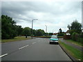
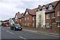
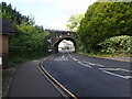
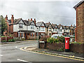
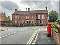
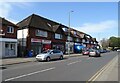
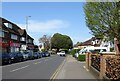
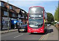

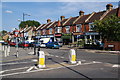
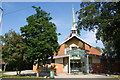
28 photos from this area
Area Information
Key information about the KT19 8TU including its size, population, and administrative classification.
- Area Type
- Postcode
- Area Size
- 1.7 hectares
- Population
- 1594
- Population Density
- 6456 people/km²
House Prices in KT19 8TU
43
Properties
£310,820
Average Sold Price
£76,000
Lowest Price
£657,500
Highest Price
Showing 43 properties
| Address | Type | Beds | Baths | Last Sale Price | Last Sale Date | |
|---|---|---|---|---|---|---|
| 153 Hook Road, Epsom, KT19 8TU | Detached | 3 | 1 | £535,000 | Aug 2025 | |
| 167 Hook Road, Epsom, KT19 8TU | Semi-detached | 3 | 1 | £657,500 | Feb 2025 | |
| 129 Hook Road, Epsom, KT19 8TU | Semi-detached | 4 | 2 | £495,000 | Mar 2019 | |
| 133 Hook Road, Epsom, KT19 8TU | Semi-detached | 4 | 3 | £465,000 | Jul 2017 | |
| 139 Hook Road, Epsom, KT19 8TU | Flat | 1 | 1 | £435,000 | Jun 2017 | |
| 141 Hook Road, Epsom, KT19 8TU | Flat | 2 | 1 | £416,000 | Mar 2017 | |
| 159 Hook Road, Epsom, KT19 8TU | Semi-detached | 3 | 1 | £545,000 | Mar 2016 | |
| 113 Hook Road, Epsom, KT19 8TU | Semi-detached | 2 | - | £375,000 | Nov 2013 | |
| 161 Hook Road, Epsom, KT19 8TU | house | 3 | - | £355,000 | Jun 2012 | |
| 171 Hook Road, Epsom, KT19 8TU | Semi-detached | 4 | 2 | £310,000 | May 2012 |
Page 1 of 5
Energy Efficiency in KT19 8TU
Amenities
Schools
| Rank | School | Type | Entry gender | Ages |
|---|
Explore more schools in this area
Go to Schools tabDemographics
Household Size
Family (3-5 people)
most common
Accommodation Type
Houses
most common
Tenure
68
majority
Ethnic Group
White
most common
Religion
N/A
most common
Household Composition
N/A
most common
Age
47
median
Adults (30-64 years)
most common
Household Deprivation
N/A
with no deprivation
NS-SEC
37
in Lower managerial occupations
Explore more demographic insights in this area
Go to Demographics tabPlanning
Planning Constraints
- Flood RiskPremium
- Ramsar Wetland SitesPremium
- Area of Outstanding Natural BeautyPremium
- Protected Nature ReservePremium
- Protected WoodlandPremium