Area Overview for KT18 7SN
Photos of KT18 7SN
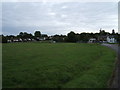
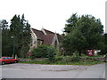
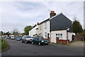
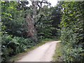
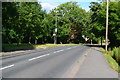
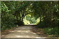
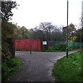
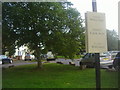
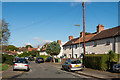

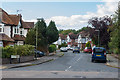
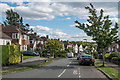
29 photos from this area
Area Information
Key information about the KT18 7SN including its size, population, and administrative classification.
- Area Type
- Postcode
- Area Size
- 1.9 hectares
- Population
- 1595
- Population Density
- 3413 people/km²
House Prices in KT18 7SN
48
Properties
£429,484
Average Sold Price
£108,000
Lowest Price
£835,000
Highest Price
Showing 48 properties
| Address | Type | Beds | Baths | Last Sale Price | Last Sale Date | |
|---|---|---|---|---|---|---|
| 92 Eastdean Avenue, Epsom, KT18 7SN | Detached | 2 | 1 | £562,000 | Nov 2025 | |
| 56 Eastdean Avenue, Epsom, KT18 7SN | Semi-detached | 2 | 1 | £522,000 | Dec 2024 | |
| 12 Eastdean Avenue, Epsom, KT18 7SN | Bungalow | 2 | 1 | £465,000 | Jul 2024 | |
| 30 Eastdean Avenue, Epsom, KT18 7SN | Semi-detached | 3 | 1 | £583,000 | Jul 2024 | |
| 72 Eastdean Avenue, Epsom, KT18 7SN | Semi-detached | 2 | 1 | £490,000 | Mar 2024 | |
| 94 Eastdean Avenue, Epsom, KT18 7SN | Detached | 3 | 1 | £835,000 | Feb 2024 | |
| 8 Eastdean Avenue, Epsom, KT18 7SN | Semi-detached | 3 | 1 | £661,200 | Nov 2023 | |
| 60 Eastdean Avenue, Epsom, KT18 7SN | Semi-detached | 2 | 1 | £535,000 | Sep 2023 | |
| 76 Eastdean Avenue, Epsom, KT18 7SN | Semi-detached | 2 | 1 | £542,500 | Aug 2023 | |
| 4 Eastdean Avenue, Epsom, KT18 7SN | Semi-detached | 4 | 2 | £786,000 | Feb 2023 |
Page 1 of 5
Energy Efficiency in KT18 7SN
Amenities
Schools
| Rank | School | Type | Entry gender | Ages |
|---|
Explore more schools in this area
Go to Schools tabDemographics
Household Size
Family (3-5 people)
most common
Accommodation Type
Houses
most common
Tenure
88
majority
Ethnic Group
White
most common
Religion
N/A
most common
Household Composition
N/A
most common
Age
47
median
Adults (30-64 years)
most common
Household Deprivation
N/A
with no deprivation
NS-SEC
56
in Lower managerial occupations
Explore more demographic insights in this area
Go to Demographics tabPlanning
Planning Constraints
- Flood RiskPremium
- Ramsar Wetland SitesPremium
- Area of Outstanding Natural BeautyPremium
- Protected Nature ReservePremium
- Protected WoodlandPremium