Area Overview for KT18 7LB
Photos of KT18 7LB

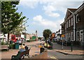
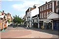
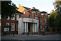
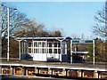
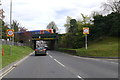
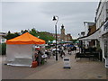
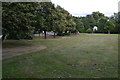
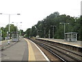
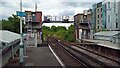
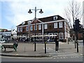

85 photos from this area
Area Information
Key information about the KT18 7LB including its size, population, and administrative classification.
- Area Type
- Postcode
- Area Size
- 3.4 hectares
- Population
- 1795
- Population Density
- 2630 people/km²
House Prices in KT18 7LB
29
Properties
£556,125
Average Sold Price
£113,300
Lowest Price
£950,000
Highest Price
Showing 29 properties
| Address | Type | Beds | Baths | Last Sale Price | Last Sale Date | |
|---|---|---|---|---|---|---|
| 5 St Margaret Drive, Epsom, KT18 7LB | Retail | 4 | 3 | £900,000 | Jun 2022 | |
| 18 St Margaret Drive, Epsom, KT18 7LB | Detached | 4 | 2 | £808,500 | Jun 2021 | |
| 6 St Margaret Drive, Epsom, KT18 7LB | Detached | 4 | - | £684,500 | Jun 2020 | |
| 15 St Margaret Drive, Epsom, KT18 7LB | house | - | - | £950,000 | Oct 2019 | |
| 10 St Margaret Drive, Epsom, KT18 7LB | Detached | 5 | 3 | £865,000 | Sep 2019 | |
| 14 St Margaret Drive, Epsom, KT18 7LB | Detached | 3 | 2 | £647,500 | Apr 2019 | |
| 16 St Margaret Drive, Epsom, KT18 7LB | Detached | 4 | - | £820,000 | Mar 2018 | |
| 24 St Margaret Drive, Epsom, KT18 7LB | Detached | 5 | 3 | £740,000 | Jul 2017 | |
| 26 St Margaret Drive, Epsom, KT18 7LB | house | 4 | - | £675,000 | Oct 2014 | |
| 19 St Margaret Drive, Epsom, KT18 7LB | Detached | 5 | 3 | £882,000 | May 2014 |
Page 1 of 3
Energy Efficiency in KT18 7LB
Amenities
Schools
| Rank | School | Type | Entry gender | Ages |
|---|
Explore more schools in this area
Go to Schools tabDemographics
Household Size
Family (3-5 people)
most common
Accommodation Type
Houses
most common
Tenure
72
majority
Ethnic Group
White
most common
Religion
N/A
most common
Household Composition
N/A
most common
Age
47
median
Adults (30-64 years)
most common
Household Deprivation
N/A
with no deprivation
NS-SEC
55
in Lower managerial occupations
Explore more demographic insights in this area
Go to Demographics tabPlanning
Planning Constraints
- Flood RiskPremium
- Ramsar Wetland SitesPremium
- Area of Outstanding Natural BeautyPremium
- Protected Nature ReservePremium
- Protected WoodlandPremium