Area Overview for KT18 6PY
Photos of KT18 6PY
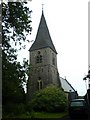
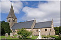
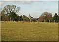
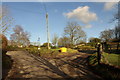
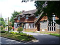
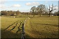
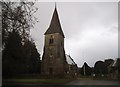
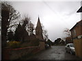
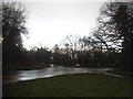
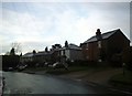
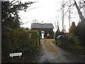
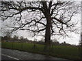
79 photos from this area
Area Information
Key information about the KT18 6PY including its size, population, and administrative classification.
- Area Type
- Postcode
- Area Size
- 2.8 hectares
- Population
- 1847
- Population Density
- 180 people/km²
House Prices in KT18 6PY
18
Properties
£507,454
Average Sold Price
£267,000
Lowest Price
£787,500
Highest Price
Showing 18 properties
| Address | Type | Beds | Baths | Last Sale Price | Last Sale Date | |
|---|---|---|---|---|---|---|
| Glen Rosa, Tot Hill, Headley, KT18 6PY | Detached | 4 | 1 | £625,000 | Oct 2020 | |
| Tuffets, Tot Hill, Headley, KT18 6PY | house | - | - | £600,000 | Jan 2019 | |
| Two Trees, Tot Hill, Headley, KT18 6PY | Semi-detached | 4 | 1 | £480,000 | Oct 2018 | |
| Fernleigh, Tot Hill, Headley, KT18 6PY | Terraced | 2 | 1 | £385,000 | Jun 2018 | |
| Coppers, Tot Hill, Headley, KT18 6PY | Detached | 3 | - | £787,500 | Nov 2017 | |
| Spring Cottage, Tot Hill, Headley, KT18 6PY | Terraced | 2 | - | £450,000 | Nov 2017 | |
| Downsview, Tot Hill, Headley, KT18 6PY | Semi-detached | 2 | 2 | £580,000 | Jul 2017 | |
| Albany Cottage, Tot Hill, Headley, KT18 6PY | Detached | 3 | 1 | £599,950 | Nov 2014 | |
| Badgers Cete, Tot Hill, Headley, KT18 6PY | Semi-detached | 2 | - | £385,000 | Jul 2014 | |
| Old Cottage, Tot Hill, Headley, KT18 6PY | house | - | - | £625,000 | Dec 2013 |
Page 1 of 2
Energy Efficiency in KT18 6PY
Amenities
Schools
| Rank | School | Type | Entry gender | Ages |
|---|
Explore more schools in this area
Go to Schools tabDemographics
Household Size
Two person
most common
Accommodation Type
Houses
most common
Tenure
86
majority
Ethnic Group
White
most common
Religion
N/A
most common
Household Composition
N/A
most common
Age
47
median
Adults (30-64 years)
most common
Household Deprivation
N/A
with no deprivation
NS-SEC
35
in Lower managerial occupations
Explore more demographic insights in this area
Go to Demographics tabPlanning
Planning Constraints
- Flood RiskPremium
- Ramsar Wetland SitesPremium
- Area of Outstanding Natural BeautyPremium
- Protected Nature ReservePremium
- Protected WoodlandPremium