Area Overview for KT18 5PB
Photos of KT18 5PB
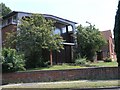
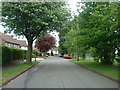
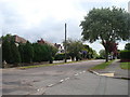
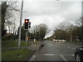
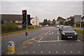
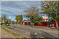
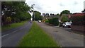
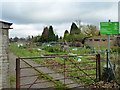
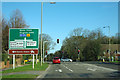
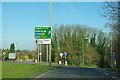
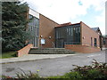
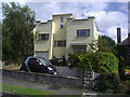
24 photos from this area
Area Information
Key information about the KT18 5PB including its size, population, and administrative classification.
- Area Type
- Postcode
- Area Size
- 2.4 hectares
- Population
- 1713
- Population Density
- 3921 people/km²
House Prices in KT18 5PB
29
Properties
£558,732
Average Sold Price
£177,000
Lowest Price
£1,450,000
Highest Price
Showing 29 properties
| Address | Type | Beds | Baths | Last Sale Price | Last Sale Date | |
|---|---|---|---|---|---|---|
| 32 Shawley Way, Epsom Downs, KT18 5PB | Semi-detached | 4 | 1 | £610,000 | Jul 2025 | |
| 33 Shawley Way, Epsom Downs, KT18 5PB | Bungalow | 2 | 1 | £670,000 | Dec 2023 | |
| 27 Shawley Way, Epsom Downs, KT18 5PB | Detached | 4 | 4 | £1,450,000 | Jul 2023 | |
| 30 Shawley Way, Epsom Downs, KT18 5PB | Semi-detached | 4 | 2 | £765,000 | Sep 2022 | |
| 36 Shawley Way, Epsom Downs, KT18 5PB | Semi-detached | 4 | 2 | £460,000 | Oct 2019 | |
| 29 Shawley Way, Epsom Downs, KT18 5PB | Detached | 3 | 1 | £675,000 | Apr 2019 | |
| 39 Shawley Way, Epsom Downs, KT18 5PB | Detached | 4 | 2 | £860,000 | Feb 2018 | |
| 26 Shawley Way, Epsom Downs, KT18 5PB | house | - | - | £552,000 | Aug 2017 | |
| 52 Shawley Way, Epsom Downs, KT18 5PB | Semi-detached | 4 | 1 | £577,000 | Dec 2015 | |
| 45 Shawley Way, Epsom Downs, KT18 5PB | Detached | 5 | - | £887,500 | Apr 2015 |
Page 1 of 3
Energy Efficiency in KT18 5PB
Amenities
Schools
| Rank | School | Type | Entry gender | Ages |
|---|
Explore more schools in this area
Go to Schools tabDemographics
Household Size
Family (3-5 people)
most common
Accommodation Type
Houses
most common
Tenure
83
majority
Ethnic Group
White
most common
Religion
N/A
most common
Household Composition
N/A
most common
Age
47
median
Adults (30-64 years)
most common
Household Deprivation
N/A
with no deprivation
NS-SEC
42
in Lower managerial occupations
Explore more demographic insights in this area
Go to Demographics tabPlanning
Planning Constraints
- Flood RiskPremium
- Ramsar Wetland SitesPremium
- Area of Outstanding Natural BeautyPremium
- Protected Nature ReservePremium
- Protected WoodlandPremium