Area Overview for KT17 4NG
Photos of KT17 4NG
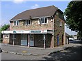
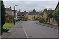
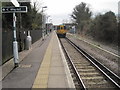
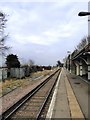
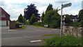
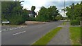
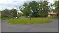
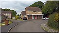
33 photos from this area
Area Information
Key information about the KT17 4NG including its size, population, and administrative classification.
- Area Type
- Postcode
- Area Size
- 2.3 hectares
- Population
- 1561
- Population Density
- 1640 people/km²
House Prices in KT17 4NG
32
Properties
£403,283
Average Sold Price
£120,000
Lowest Price
£680,000
Highest Price
Showing 32 properties
| Address | Type | Beds | Baths | Last Sale Price | Last Sale Date | |
|---|---|---|---|---|---|---|
| 22 Beech Way, Epsom, KT17 4NG | Bungalow | 2 | 1 | £500,000 | May 2025 | |
| 19 Beech Way, Epsom, KT17 4NG | Bungalow | 2 | 1 | £437,500 | Mar 2025 | |
| The Beech House, 20 Beech Way, Epsom, KT17 4NG | Bungalow | 4 | 2 | £640,000 | Jan 2025 | |
| 1 Beech Way, Epsom, KT17 4NG | Bungalow | 3 | 1 | £470,000 | Oct 2024 | |
| 6 Beech Way, Epsom, KT17 4NG | Bungalow | 4 | 3 | £643,000 | Aug 2023 | |
| 10 Beech Way, Epsom, KT17 4NG | Bungalow | 3 | 2 | £680,000 | Jul 2023 | |
| 4 Beech Way, Epsom, KT17 4NG | Bungalow | 2 | 1 | £640,000 | Aug 2022 | |
| 5 Beech Way, Epsom, KT17 4NG | Bungalow | 4 | 2 | £590,000 | Dec 2021 | |
| 12 Beech Way, Epsom, KT17 4NG | Bungalow | 2 | 1 | £453,000 | Mar 2021 | |
| 25 Beech Way, Epsom, KT17 4NG | Detached | 4 | 2 | £453,000 | May 2017 |
Page 1 of 4
Energy Efficiency in KT17 4NG
Amenities
Schools
| Rank | School | Type | Entry gender | Ages |
|---|
Explore more schools in this area
Go to Schools tabDemographics
Household Size
Family (3-5 people)
most common
Accommodation Type
Houses
most common
Tenure
84
majority
Ethnic Group
White
most common
Religion
N/A
most common
Household Composition
N/A
most common
Age
47
median
Adults (30-64 years)
most common
Household Deprivation
N/A
with no deprivation
NS-SEC
52
in Lower managerial occupations
Explore more demographic insights in this area
Go to Demographics tabPlanning
Planning Constraints
- Flood RiskPremium
- Ramsar Wetland SitesPremium
- Area of Outstanding Natural BeautyPremium
- Protected Nature ReservePremium
- Protected WoodlandPremium