Area Overview for KT17 3PT
Photos of KT17 3PT
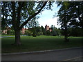

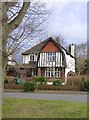
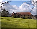
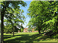
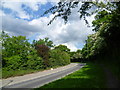
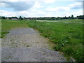
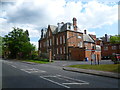
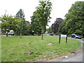
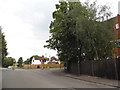
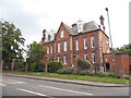
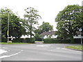
26 photos from this area
Area Information
Key information about the KT17 3PT including its size, population, and administrative classification.
- Area Type
- Postcode
- Area Size
- 1.9 hectares
- Population
- 1561
- Population Density
- 1640 people/km²
House Prices in KT17 3PT
18
Properties
£601,920
Average Sold Price
£200,000
Lowest Price
£900,000
Highest Price
Showing 18 properties
| Address | Type | Beds | Baths | Last Sale Price | Last Sale Date | |
|---|---|---|---|---|---|---|
| Pantyles, 1A Longdown Road, Epsom, KT17 3PT | Bungalow | 3 | 2 | £840,000 | Dec 2021 | |
| 9A Longdown Road, Epsom, KT17 3PT | Detached | 3 | 1 | £800,000 | Dec 2017 | |
| 4 Longdown Road, Epsom, KT17 3PT | house | 4 | - | £735,000 | Jul 2010 | |
| 6 Longdown Road, Epsom, KT17 3PT | house | - | - | £834,200 | Dec 2009 | |
| 11 Longdown Road, Epsom, KT17 3PT | Detached | 4 | 2 | £200,000 | Oct 2006 | |
| 14 Longdown Road, Epsom, KT17 3PT | Detached | - | - | £900,000 | Jul 2004 | |
| 8 Longdown Road, Epsom, KT17 3PT | Detached | - | - | £485,000 | Jun 2004 | |
| 1 Longdown Road, Epsom, KT17 3PT | Detached | - | - | £495,000 | May 2004 | |
| 3 Longdown Road, Epsom, KT17 3PT | Detached | 4 | 2 | £490,000 | Apr 2004 | |
| 9 Longdown Road, Epsom, KT17 3PT | hospital_care_home | - | - | £240,000 | Aug 1996 |
Page 1 of 2
Energy Efficiency in KT17 3PT
Amenities
Schools
| Rank | School | Type | Entry gender | Ages |
|---|
Explore more schools in this area
Go to Schools tabDemographics
Household Size
Family (3-5 people)
most common
Accommodation Type
Houses
most common
Tenure
84
majority
Ethnic Group
White
most common
Religion
N/A
most common
Household Composition
N/A
most common
Age
47
median
Adults (30-64 years)
most common
Household Deprivation
N/A
with no deprivation
NS-SEC
52
in Lower managerial occupations
Explore more demographic insights in this area
Go to Demographics tabPlanning
Planning Constraints
- Flood RiskPremium
- Ramsar Wetland SitesPremium
- Area of Outstanding Natural BeautyPremium
- Protected Nature ReservePremium
- Protected WoodlandPremium