Area Overview for KT17 3BB
Photos of KT17 3BB
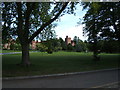

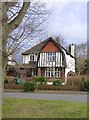
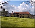
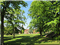
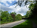
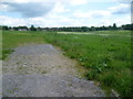
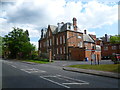
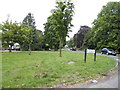
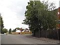
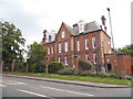
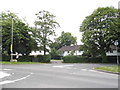
26 photos from this area
Area Information
Key information about the KT17 3BB including its size, population, and administrative classification.
- Area Type
- Postcode
- Area Size
- 3.1 hectares
- Population
- 2489
- Population Density
- 835 people/km²
House Prices in KT17 3BB
27
Properties
£689,500
Average Sold Price
£195,000
Lowest Price
£1,426,501
Highest Price
Showing 27 properties
| Address | Type | Beds | Baths | Last Sale Price | Last Sale Date | |
|---|---|---|---|---|---|---|
| 9 Higher Green, Ewell, KT17 3BB | Detached | 5 | 3 | £1,300,000 | Mar 2025 | |
| 43 Higher Green, Ewell, KT17 3BB | Detached | 4 | 1 | £1,140,000 | Sep 2022 | |
| 1A Higher Green, Ewell, KT17 3BB | house | - | - | £1,095,000 | Feb 2022 | |
| 37 Higher Green, Ewell, KT17 3BB | house | - | - | £1,426,501 | Feb 2022 | |
| 11 Higher Green, Ewell, KT17 3BB | Detached | 4 | 1 | £900,000 | Mar 2019 | |
| 31 Higher Green, Ewell, KT17 3BB | Detached | 5 | 2 | £1,120,000 | Jun 2017 | |
| 51 Higher Green, Ewell, KT17 3BB | Detached | 6 | 2 | £980,000 | Apr 2016 | |
| 1 Higher Green, Ewell, KT17 3BB | Detached | - | - | £623,000 | Aug 2006 | |
| 47 Higher Green, Ewell, KT17 3BB | Detached | 4 | 2 | £570,000 | Apr 2005 | |
| 45 Higher Green, Ewell, KT17 3BB | Detached | 4 | - | £540,000 | Jun 2004 |
Page 1 of 3
Energy Efficiency in KT17 3BB
Amenities
Schools
| Rank | School | Type | Entry gender | Ages |
|---|
Explore more schools in this area
Go to Schools tabDemographics
Household Size
Family (3-5 people)
most common
Accommodation Type
Houses
most common
Tenure
88
majority
Ethnic Group
White
most common
Religion
N/A
most common
Household Composition
N/A
most common
Age
47
median
Adults (30-64 years)
most common
Household Deprivation
N/A
with no deprivation
NS-SEC
52
in Lower managerial occupations
Explore more demographic insights in this area
Go to Demographics tabPlanning
Planning Constraints
- Flood RiskPremium
- Ramsar Wetland SitesPremium
- Area of Outstanding Natural BeautyPremium
- Protected Nature ReservePremium
- Protected WoodlandPremium