Area Overview for KT17 2RS
Photos of KT17 2RS
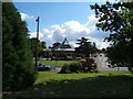
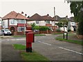
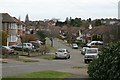
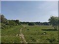
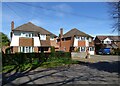
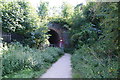
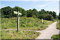
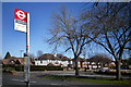
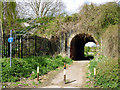
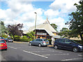
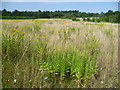
29 photos from this area
Area Information
Key information about the KT17 2RS including its size, population, and administrative classification.
- Area Type
- Postcode
- Area Size
- 5.0 hectares
- Population
- 1706
- Population Density
- 792 people/km²
House Prices in KT17 2RS
14
Properties
£535,146
Average Sold Price
£269,000
Lowest Price
£1,000,000
Highest Price
Showing 14 properties
| Address | Type | Beds | Baths | Last Sale Price | Last Sale Date | |
|---|---|---|---|---|---|---|
| 45 Seymour Avenue, Ewell, KT17 2RS | Detached | 5 | 2 | £1,000,000 | Feb 2024 | |
| 37 Seymour Avenue, Ewell, KT17 2RS | house | - | - | £565,000 | Feb 2015 | |
| 55 Seymour Avenue, Ewell, KT17 2RS | Detached | 5 | - | £656,000 | Jan 2013 | |
| 43 Seymour Avenue, Ewell, KT17 2RS | house | 5 | - | £592,000 | Jun 2012 | |
| 33 Seymour Avenue, Ewell, KT17 2RS | Detached | - | - | £795,000 | Aug 2007 | |
| 53 Seymour Avenue, Ewell, KT17 2RS | Detached | - | - | £615,000 | Jun 2006 | |
| 41 Seymour Avenue, Ewell, KT17 2RS | Detached | - | - | £599,950 | Mar 2006 | |
| 39 Seymour Avenue, Ewell, KT17 2RS | Detached | - | - | £565,000 | Jul 2005 | |
| 57 Seymour Avenue, Ewell, KT17 2RS | Detached | - | - | £440,000 | Jul 2002 | |
| 47 Seymour Avenue, Ewell, KT17 2RS | Detached | - | - | £280,000 | Nov 1996 |
Page 1 of 2
Energy Efficiency in KT17 2RS
Amenities
Schools
| Rank | School | Type | Entry gender | Ages |
|---|
Explore more schools in this area
Go to Schools tabDemographics
Household Size
Family (3-5 people)
most common
Accommodation Type
Houses
most common
Tenure
96
majority
Ethnic Group
White
most common
Religion
N/A
most common
Household Composition
N/A
most common
Age
47
median
Adults (30-64 years)
most common
Household Deprivation
N/A
with no deprivation
NS-SEC
56
in Lower managerial occupations
Explore more demographic insights in this area
Go to Demographics tabPlanning
Planning Constraints
- Flood RiskPremium
- Ramsar Wetland SitesPremium
- Area of Outstanding Natural BeautyPremium
- Protected Nature ReservePremium
- Protected WoodlandPremium