Area Overview for KT17 2PZ
Photos of KT17 2PZ
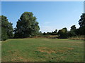
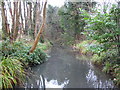
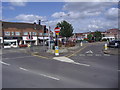
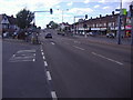
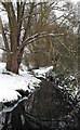
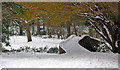
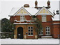
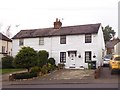
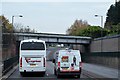
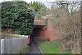
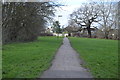
71 photos from this area
Area Information
Key information about the KT17 2PZ including its size, population, and administrative classification.
- Area Type
- Postcode
- Area Size
- 1.8 hectares
- Population
- 1555
- Population Density
- 4563 people/km²
House Prices in KT17 2PZ
28
Properties
£427,389
Average Sold Price
£132,500
Lowest Price
£700,000
Highest Price
Showing 28 properties
| Address | Type | Beds | Baths | Last Sale Price | Last Sale Date | |
|---|---|---|---|---|---|---|
| 35 Ewell By Pass, Ewell, KT17 2PZ | Detached | 4 | 2 | £640,000 | Feb 2025 | |
| 29 Ewell By Pass, Ewell, KT17 2PZ | Semi-detached | 3 | 2 | £685,000 | Sep 2022 | |
| 33 Ewell By Pass, Ewell, KT17 2PZ | Semi-detached | 3 | 1 | £550,000 | Aug 2022 | |
| 15 Ewell By Pass, Ewell, KT17 2PZ | Semi-detached | 4 | 1 | £668,000 | Mar 2022 | |
| 37 Ewell By Pass, Ewell, KT17 2PZ | house | - | - | £500,000 | Jul 2020 | |
| 1 Ewell By Pass, Ewell, KT17 2PZ | Detached | 4 | 2 | £700,000 | Feb 2020 | |
| 39 Ewell By Pass, Ewell, KT17 2PZ | Semi-detached | 3 | 1 | £451,000 | Jun 2018 | |
| 3 Ewell By Pass, Ewell, KT17 2PZ | house | - | - | £523,000 | Nov 2016 | |
| 19 Ewell By Pass, Ewell, KT17 2PZ | Semi-detached | 3 | - | £390,000 | Mar 2016 | |
| 21 Ewell By Pass, Ewell, KT17 2PZ | Semi-detached | 3 | 1 | £420,000 | Apr 2015 |
Page 1 of 3
Energy Efficiency in KT17 2PZ
Amenities
Schools
| Rank | School | Type | Entry gender | Ages |
|---|
Explore more schools in this area
Go to Schools tabDemographics
Household Size
Family (3-5 people)
most common
Accommodation Type
Houses
most common
Tenure
77
majority
Ethnic Group
White
most common
Religion
N/A
most common
Household Composition
N/A
most common
Age
47
median
Adults (30-64 years)
most common
Household Deprivation
N/A
with no deprivation
NS-SEC
44
in Lower managerial occupations
Explore more demographic insights in this area
Go to Demographics tabPlanning
Planning Constraints
- Flood RiskPremium
- Ramsar Wetland SitesPremium
- Area of Outstanding Natural BeautyPremium
- Protected Nature ReservePremium
- Protected WoodlandPremium