Area Overview for KT17 1PQ
Photos of KT17 1PQ
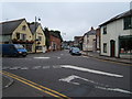
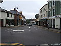
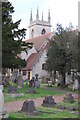
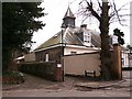
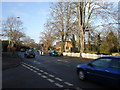
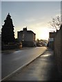
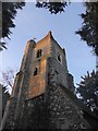
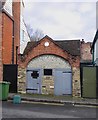
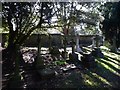
74 photos from this area
Area Information
Key information about the KT17 1PQ including its size, population, and administrative classification.
- Area Type
- Postcode
- Area Size
- 6245 m²
- Population
- 2041
- Population Density
- 3326 people/km²
House Prices in KT17 1PQ
7
Properties
£530,286
Average Sold Price
£120,000
Lowest Price
£850,000
Highest Price
Showing 7 properties
| Address | Type | Beds | Baths | Last Sale Price | Last Sale Date | |
|---|---|---|---|---|---|---|
| 2 Persfield Close, Ewell, KT17 1PQ | Detached | 5 | 2 | £740,000 | Jul 2020 | |
| 4 Persfield Close, Ewell, KT17 1PQ | Bungalow | 3 | 1 | £560,000 | Mar 2016 | |
| 5 Persfield Close, Ewell, KT17 1PQ | Bungalow | 3 | 1 | £525,500 | Dec 2015 | |
| 1 Persfield Close, Ewell, KT17 1PQ | Detached | - | - | £850,000 | Mar 2012 | |
| 3 Persfield Close, Ewell, KT17 1PQ | Detached | - | - | £587,000 | Nov 2008 | |
| 7 Persfield Close, Ewell, KT17 1PQ | Bungalow | 3 | 1 | £329,500 | Nov 2004 | |
| 6 Persfield Close, Ewell, KT17 1PQ | Bungalow | 2 | 1 | £120,000 | Jul 1995 |
Energy Efficiency in KT17 1PQ
Amenities
Schools
| Rank | School | Type | Entry gender | Ages |
|---|
Explore more schools in this area
Go to Schools tabDemographics
Household Size
Family (3-5 people)
most common
Accommodation Type
Houses
most common
Tenure
81
majority
Ethnic Group
White
most common
Religion
N/A
most common
Household Composition
N/A
most common
Age
47
median
Adults (30-64 years)
most common
Household Deprivation
N/A
with no deprivation
NS-SEC
51
in Lower managerial occupations
Explore more demographic insights in this area
Go to Demographics tabPlanning
Planning Constraints
- Flood RiskPremium
- Ramsar Wetland SitesPremium
- Area of Outstanding Natural BeautyPremium
- Protected Nature ReservePremium
- Protected WoodlandPremium