Area Overview for KT16 9PH
Photos of KT16 9PH
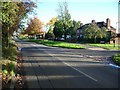
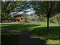
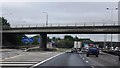
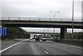
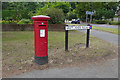
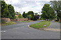
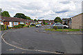
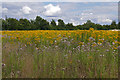
51 photos from this area
Area Information
Key information about the KT16 9PH including its size, population, and administrative classification.
- Area Type
- Postcode
- Area Size
- 1.3 hectares
- Population
- 1861
- Population Density
- 1618 people/km²
House Prices in KT16 9PH
21
Properties
£596,210
Average Sold Price
£370,000
Lowest Price
£1,100,000
Highest Price
Showing 21 properties
| Address | Type | Beds | Baths | Last Sale Price | Last Sale Date | |
|---|---|---|---|---|---|---|
| 16 Little Green Lane, Chertsey, KT16 9PH | Detached | 3 | 1 | £1,100,000 | Oct 2022 | |
| 40 Little Green Lane, Chertsey, KT16 9PH | Detached | 4 | 3 | £605,000 | Jan 2022 | |
| The Corner House, 44A Little Green Lane, Chertsey, KT16 9PH | Detached | 5 | 3 | £850,000 | Mar 2021 | |
| 2 Little Green Lane, Chertsey, KT16 9PH | Detached | 4 | 2 | £550,000 | Mar 2021 | |
| 22 Little Green Lane, Chertsey, KT16 9PH | Bungalow | 2 | 1 | £575,000 | Feb 2021 | |
| 28 Little Green Lane, Chertsey, KT16 9PH | house | 3 | 2 | £475,000 | May 2019 | |
| 36 Little Green Lane, Chertsey, KT16 9PH | Detached | 3 | 1 | £640,000 | Sep 2018 | |
| 14 Little Green Lane, Chertsey, KT16 9PH | Detached | 4 | - | £565,000 | Dec 2017 | |
| 20 Little Green Lane, Chertsey, KT16 9PH | Bungalow | 4 | - | £560,000 | Apr 2015 | |
| 10 Little Green Lane, Chertsey, KT16 9PH | Detached | 3 | 3 | £420,000 | Feb 2013 |
Page 1 of 3
Energy Efficiency in KT16 9PH
Amenities
Schools
| Rank | School | Type | Entry gender | Ages |
|---|
Explore more schools in this area
Go to Schools tabDemographics
Household Size
Family (3-5 people)
most common
Accommodation Type
Houses
most common
Tenure
76
majority
Ethnic Group
White
most common
Religion
N/A
most common
Household Composition
N/A
most common
Age
47
median
Adults (30-64 years)
most common
Household Deprivation
N/A
with no deprivation
NS-SEC
45
in Lower managerial occupations
Explore more demographic insights in this area
Go to Demographics tabPlanning
Planning Constraints
- Flood RiskPremium
- Ramsar Wetland SitesPremium
- Area of Outstanding Natural BeautyPremium
- Protected Nature ReservePremium
- Protected WoodlandPremium