Area Overview for KT16 9LP
Photos of KT16 9LP
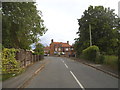
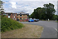
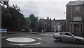
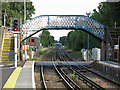
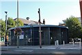
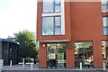
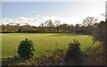
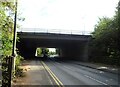
56 photos from this area
Area Information
Key information about the KT16 9LP including its size, population, and administrative classification.
- Area Type
- Postcode
- Area Size
- 6197 m²
- Population
- 1861
- Population Density
- 1618 people/km²
House Prices in KT16 9LP
13
Properties
£344,375
Average Sold Price
£140,000
Lowest Price
£670,000
Highest Price
Showing 13 properties
| Address | Type | Beds | Baths | Last Sale Price | Last Sale Date | |
|---|---|---|---|---|---|---|
| 3 Hamilton Close, Chertsey, KT16 9LP | Semi-detached | 4 | 2 | £670,000 | Sep 2022 | |
| 10 Hamilton Close, Chertsey, KT16 9LP | Semi-detached | 3 | 1 | £455,000 | Mar 2020 | |
| 7 Hamilton Close, Chertsey, KT16 9LP | Semi-detached | 3 | 1 | £415,000 | Jan 2018 | |
| 6 Hamilton Close, Chertsey, KT16 9LP | Semi-detached | 3 | - | £470,000 | Sep 2016 | |
| 5 Hamilton Close, Chertsey, KT16 9LP | Semi-detached | - | - | £245,000 | Jun 2005 | |
| 1 Hamilton Close, Chertsey, KT16 9LP | Detached | 5 | 2 | £185,000 | Aug 2001 | |
| 2 Hamilton Close, Chertsey, KT16 9LP | Semi-detached | - | - | £175,000 | Aug 2000 | |
| Blair Atholl, Hamilton Close, Chertsey, KT16 9LP | Detached | 4 | - | £140,000 | Feb 2000 | |
| 8 Hamilton Close, Chertsey, KT16 9LP | Semi-detached | 3 | 2 | - | - | |
| Ground Floor Unit 2, The Forum, Hanworth Lane, Chertsey, KT16 9LP | Office | - | - | - | - |
Page 1 of 2
Energy Efficiency in KT16 9LP
Amenities
Schools
| Rank | School | Type | Entry gender | Ages |
|---|
Explore more schools in this area
Go to Schools tabDemographics
Household Size
Family (3-5 people)
most common
Accommodation Type
Houses
most common
Tenure
76
majority
Ethnic Group
White
most common
Religion
N/A
most common
Household Composition
N/A
most common
Age
47
median
Adults (30-64 years)
most common
Household Deprivation
N/A
with no deprivation
NS-SEC
45
in Lower managerial occupations
Explore more demographic insights in this area
Go to Demographics tabPlanning
Planning Constraints
- Flood RiskPremium
- Ramsar Wetland SitesPremium
- Area of Outstanding Natural BeautyPremium
- Protected Nature ReservePremium
- Protected WoodlandPremium