Area Overview for KT16 9EF
Photos of KT16 9EF
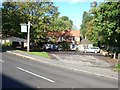
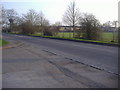
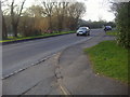
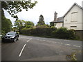
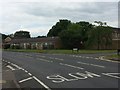
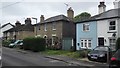
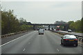
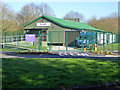
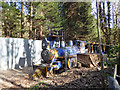
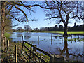
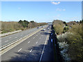
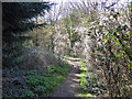
53 photos from this area
Area Information
Key information about the KT16 9EF including its size, population, and administrative classification.
- Area Type
- Postcode
- Area Size
- 1.2 hectares
- Population
- 1573
- Population Density
- 753 people/km²
House Prices in KT16 9EF
32
Properties
£299,375
Average Sold Price
£39,420
Lowest Price
£468,000
Highest Price
Showing 32 properties
| Address | Type | Beds | Baths | Last Sale Price | Last Sale Date | |
|---|---|---|---|---|---|---|
| 23 South Grove, Chertsey, KT16 9EF | Semi-detached | 3 | 3 | £468,000 | Dec 2025 | |
| 29 South Grove, Chertsey, KT16 9EF | Terraced | 3 | 1 | £445,000 | Dec 2024 | |
| 5 South Grove, Chertsey, KT16 9EF | Terraced | 3 | 2 | £386,000 | May 2024 | |
| 21 South Grove, Chertsey, KT16 9EF | Terraced | 2 | 1 | £381,000 | Mar 2023 | |
| 15 South Grove, Chertsey, KT16 9EF | Detached | 3 | 1 | £375,000 | Sep 2021 | |
| 43 South Grove, Chertsey, KT16 9EF | house | - | - | £421,000 | Sep 2021 | |
| 7 South Grove, Chertsey, KT16 9EF | Semi-detached | 2 | 2 | £369,950 | Nov 2019 | |
| 11 South Grove, Chertsey, KT16 9EF | Terraced | 3 | 1 | £350,000 | Feb 2017 | |
| 17 South Grove, Chertsey, KT16 9EF | house | - | - | £212,000 | Feb 2006 | |
| 45 South Grove, Chertsey, KT16 9EF | Terraced | - | - | £210,000 | Dec 2005 |
Page 1 of 4
Energy Efficiency in KT16 9EF
Amenities
Schools
| Rank | School | Type | Entry gender | Ages |
|---|
Explore more schools in this area
Go to Schools tabDemographics
Household Size
Family (3-5 people)
most common
Accommodation Type
Houses
most common
Tenure
64
majority
Ethnic Group
White
most common
Religion
N/A
most common
Household Composition
N/A
most common
Age
47
median
Adults (30-64 years)
most common
Household Deprivation
N/A
with no deprivation
NS-SEC
30
in Lower managerial occupations
Explore more demographic insights in this area
Go to Demographics tabPlanning
Planning Constraints
- Flood RiskPremium
- Ramsar Wetland SitesPremium
- Area of Outstanding Natural BeautyPremium
- Protected Nature ReservePremium
- Protected WoodlandPremium