Area Overview for KT16 8HR
Photos of KT16 8HR
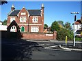
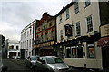
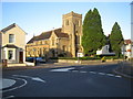
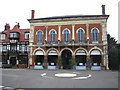
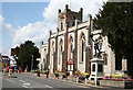
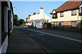
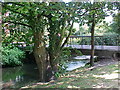
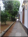
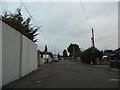
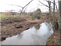
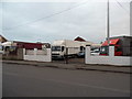
100 photos from this area
Area Information
Key information about the KT16 8HR including its size, population, and administrative classification.
- Area Type
- Postcode
- Area Size
- 5927 m²
- Population
- 1898
- Population Density
- 4353 people/km²
House Prices in KT16 8HR
15
Properties
£314,023
Average Sold Price
£202,000
Lowest Price
£585,000
Highest Price
Showing 15 properties
| Address | Type | Beds | Baths | Last Sale Price | Last Sale Date | |
|---|---|---|---|---|---|---|
| 4 Stepgates Close, Chertsey, KT16 8HR | Detached | 3 | 2 | £585,000 | Oct 2025 | |
| 11 Stepgates Close, Chertsey, KT16 8HR | Terraced | 2 | 1 | £395,000 | Sep 2022 | |
| 7 Stepgates Close, Chertsey, KT16 8HR | Semi-detached | 2 | 2 | £436,000 | Jul 2022 | |
| 12 Stepgates Close, Chertsey, KT16 8HR | Terraced | 2 | 1 | £343,000 | Sep 2021 | |
| 2 Stepgates Close, Chertsey, KT16 8HR | house | - | - | £430,000 | Feb 2020 | |
| 14 Stepgates Close, Chertsey, KT16 8HR | Semi-detached | 2 | 1 | £360,000 | Dec 2017 | |
| 10 Stepgates Close, Chertsey, KT16 8HR | Semi-detached | 2 | 1 | £298,000 | Mar 2015 | |
| 15 Stepgates Close, Chertsey, KT16 8HR | Semi-detached | 2 | 1 | £279,950 | Dec 2013 | |
| 5 Stepgates Close, Chertsey, KT16 8HR | house | - | - | £249,999 | Oct 2012 | |
| 6 Stepgates Close, Chertsey, KT16 8HR | Terraced | - | - | £229,950 | Aug 2006 |
Page 1 of 2
Energy Efficiency in KT16 8HR
Amenities
Schools
| Rank | School | Type | Entry gender | Ages |
|---|
Explore more schools in this area
Go to Schools tabDemographics
Household Size
Family (3-5 people)
most common
Accommodation Type
Houses
most common
Tenure
72
majority
Ethnic Group
White
most common
Religion
N/A
most common
Household Composition
N/A
most common
Age
47
median
Adults (30-64 years)
most common
Household Deprivation
N/A
with no deprivation
NS-SEC
39
in Lower managerial occupations
Explore more demographic insights in this area
Go to Demographics tabPlanning
Planning Constraints
- Flood RiskPremium
- Ramsar Wetland SitesPremium
- Area of Outstanding Natural BeautyPremium
- Protected Nature ReservePremium
- Protected WoodlandPremium