Area Overview for KT16 8DT
Photos of KT16 8DT
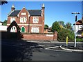
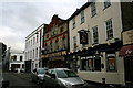
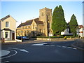
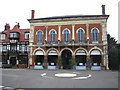
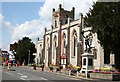
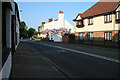
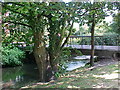
100 photos from this area
Area Information
Key information about the KT16 8DT including its size, population, and administrative classification.
- Area Type
- Postcode
- Area Size
- 1.8 hectares
- Population
- 1898
- Population Density
- 4353 people/km²
House Prices in KT16 8DT
51
Properties
£360,795
Average Sold Price
£73,500
Lowest Price
£585,000
Highest Price
Showing 51 properties
| Address | Type | Beds | Baths | Last Sale Price | Last Sale Date | |
|---|---|---|---|---|---|---|
| 204 Eastworth Road, Chertsey, KT16 8DT | Semi-detached | 3 | 2 | £561,000 | Jun 2025 | |
| 214 Eastworth Road, Chertsey, KT16 8DT | Semi-detached | 3 | 2 | £560,000 | Jun 2025 | |
| 222 Eastworth Road, Chertsey, KT16 8DT | Semi-detached | 3 | 2 | £500,000 | Jun 2024 | |
| 146A Eastworth Road, Chertsey, KT16 8DT | Flat | 2 | 1 | £310,000 | Sep 2022 | |
| 190 Eastworth Road, Chertsey, KT16 8DT | Semi-detached | 4 | 2 | £525,000 | Jul 2022 | |
| 206 Eastworth Road, Chertsey, KT16 8DT | house | 3 | - | £495,000 | Sep 2021 | |
| 128 Eastworth Road, Chertsey, KT16 8DT | house | - | - | £472,500 | Jun 2021 | |
| 224 Eastworth Road, Chertsey, KT16 8DT | Semi-detached | 3 | 1 | £475,000 | Mar 2021 | |
| 202 Eastworth Road, Chertsey, KT16 8DT | Semi-detached | 3 | 2 | £540,000 | Jan 2021 | |
| 194 Eastworth Road, Chertsey, KT16 8DT | Semi-detached | 3 | 1 | £465,000 | Oct 2020 |
Page 1 of 6
Energy Efficiency in KT16 8DT
Amenities
Schools
| Rank | School | Type | Entry gender | Ages |
|---|
Explore more schools in this area
Go to Schools tabDemographics
Household Size
Family (3-5 people)
most common
Accommodation Type
Houses
most common
Tenure
72
majority
Ethnic Group
White
most common
Religion
N/A
most common
Household Composition
N/A
most common
Age
47
median
Adults (30-64 years)
most common
Household Deprivation
N/A
with no deprivation
NS-SEC
39
in Lower managerial occupations
Explore more demographic insights in this area
Go to Demographics tabPlanning
Planning Constraints
- Flood RiskPremium
- Ramsar Wetland SitesPremium
- Area of Outstanding Natural BeautyPremium
- Protected Nature ReservePremium
- Protected WoodlandPremium