Area Overview for KT16 8BN
Photos of KT16 8BN
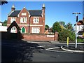
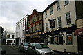
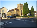
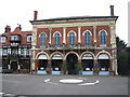
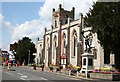
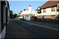
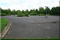
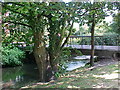
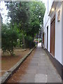
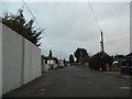
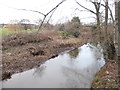
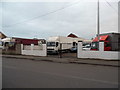
100 photos from this area
Area Information
Key information about the KT16 8BN including its size, population, and administrative classification.
- Area Type
- Postcode
- Area Size
- 1.2 hectares
- Population
- 1835
- Population Density
- 4561 people/km²
House Prices in KT16 8BN
55
Properties
£323,143
Average Sold Price
£17,500
Lowest Price
£550,000
Highest Price
Showing 55 properties
| Address | Type | Beds | Baths | Last Sale Price | Last Sale Date | |
|---|---|---|---|---|---|---|
| 81 Station Road, Chertsey, KT16 8BN | Semi-detached | 2 | 1 | £425,000 | Dec 2025 | |
| 86 Station Road, Chertsey, KT16 8BN | Terraced | 2 | 1 | £350,000 | Jul 2025 | |
| 58 Station Road, Chertsey, KT16 8BN | Terraced | 2 | 2 | £350,000 | Sep 2024 | |
| 72 Station Road, Chertsey, KT16 8BN | Semi-detached | 2 | 1 | £410,000 | Dec 2023 | |
| 57 Station Road, Chertsey, KT16 8BN | Semi-detached | 2 | 1 | £425,000 | Aug 2023 | |
| 84 Station Road, Chertsey, KT16 8BN | Semi-detached | 2 | 1 | £412,500 | Jun 2023 | |
| 88 Station Road, Chertsey, KT16 8BN | Terraced | 2 | 1 | £488,500 | Mar 2023 | |
| 98 Station Road, Chertsey, KT16 8BN | Retail | 3 | 1 | £487,500 | Sep 2022 | |
| 83 Station Road, Chertsey, KT16 8BN | Semi-detached | 2 | 1 | £550,000 | Sep 2022 | |
| 59B Station Road, Chertsey, KT16 8BN | house | 2 | 1 | £425,000 | Sep 2022 |
Page 1 of 6
Energy Efficiency in KT16 8BN
Amenities
Schools
| Rank | School | Type | Entry gender | Ages |
|---|
Explore more schools in this area
Go to Schools tabDemographics
Household Size
Two person
most common
Accommodation Type
Houses
most common
Tenure
60
majority
Ethnic Group
White
most common
Religion
N/A
most common
Household Composition
N/A
most common
Age
47
median
Adults (30-64 years)
most common
Household Deprivation
N/A
with no deprivation
NS-SEC
42
in Lower managerial occupations
Explore more demographic insights in this area
Go to Demographics tabPlanning
Planning Constraints
- Flood RiskPremium
- Ramsar Wetland SitesPremium
- Area of Outstanding Natural BeautyPremium
- Protected Nature ReservePremium
- Protected WoodlandPremium