Area Overview for KT16 8AA
Photos of KT16 8AA
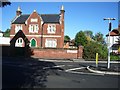
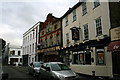
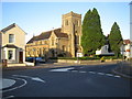
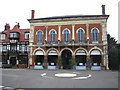
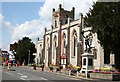
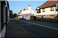
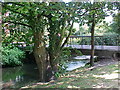
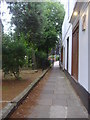
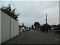
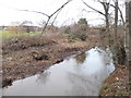
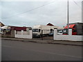
100 photos from this area
Area Information
Key information about the KT16 8AA including its size, population, and administrative classification.
- Area Type
- Postcode
- Area Size
- 6292 m²
- Population
- 1894
- Population Density
- 3304 people/km²
House Prices in KT16 8AA
29
Properties
£290,071
Average Sold Price
£75,000
Lowest Price
£557,000
Highest Price
Showing 29 properties
| Address | Type | Beds | Baths | Last Sale Price | Last Sale Date | |
|---|---|---|---|---|---|---|
| 46 London Street, Chertsey, KT16 8AA | house | 2 | 1 | £450,000 | Dec 2021 | |
| 40 London Street, Chertsey, KT16 8AA | Terraced | 2 | 1 | £350,000 | Nov 2019 | |
| 42 London Street, Chertsey, KT16 8AA | Terraced | 3 | 2 | £557,000 | Aug 2015 | |
| 36 London Street, Chertsey, KT16 8AA | Cottage | 2 | 1 | £243,500 | May 2012 | |
| 48 London Street, Chertsey, KT16 8AA | Semi-detached | - | - | £275,000 | Apr 2000 | |
| 44 London Street, Chertsey, KT16 8AA | Terraced | - | - | £75,000 | Feb 1997 | |
| 22A London Street, Chertsey, KT16 8AA | Flat | 2 | 1 | £80,000 | Dec 1995 | |
| Flat 3, The Compasses, 26-28 London Street, Chertsey, KT16 8AA | Flat | 2 | 1 | - | - | |
| 34 London Street, Chertsey, KT16 8AA | Terraced | 6 | 2 | - | - | |
| Flat 4, The Compasses, 26-28 London Street, Chertsey, KT16 8AA | Flat | 1 | - | - | - |
Page 1 of 3
Energy Efficiency in KT16 8AA
Amenities
Schools
| Rank | School | Type | Entry gender | Ages |
|---|
Explore more schools in this area
Go to Schools tabDemographics
Household Size
One person
most common
Accommodation Type
Houses
most common
Tenure
67
majority
Ethnic Group
White
most common
Religion
N/A
most common
Household Composition
N/A
most common
Age
47
median
Adults (30-64 years)
most common
Household Deprivation
N/A
with no deprivation
NS-SEC
44
in Lower managerial occupations
Explore more demographic insights in this area
Go to Demographics tabPlanning
Planning Constraints
- Flood RiskPremium
- Ramsar Wetland SitesPremium
- Area of Outstanding Natural BeautyPremium
- Protected Nature ReservePremium
- Protected WoodlandPremium