Area Overview for KT16 0QU
Photos of KT16 0QU
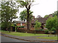
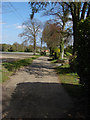
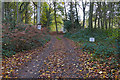
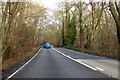
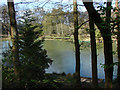
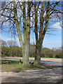
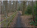
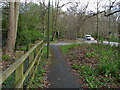
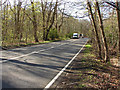
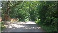
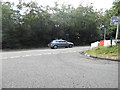
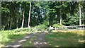
13 photos from this area
Area Information
Key information about the KT16 0QU including its size, population, and administrative classification.
- Area Type
- Postcode
- Area Size
- 35.7 hectares
- Population
- 1275
- Population Density
- 155 people/km²
House Prices in KT16 0QU
15
Properties
£821,340
Average Sold Price
£226,700
Lowest Price
£1,325,000
Highest Price
Showing 15 properties
| Address | Type | Beds | Baths | Last Sale Price | Last Sale Date | |
|---|---|---|---|---|---|---|
| Bluebell Cottage, Anningsley Park, Ottershaw, KT16 0QU | Semi-detached | 4 | 2 | £750,000 | Sep 2021 | |
| Cherry Rise, Anningsley Park, Ottershaw, KT16 0QU | house | 4 | - | £1,325,000 | Aug 2015 | |
| Thatched Cottage, Anningsley Park, Ottershaw, KT16 0QU | Detached | - | - | £226,700 | Mar 2014 | |
| Great Wood Lodge, Anningsley Park, Ottershaw, KT16 0QU | Detached | 5 | - | £890,000 | Jul 2013 | |
| Ware Copse House, Anningsley Park, Ottershaw, KT16 0QU | house | - | - | £915,000 | Jul 2007 | |
| Orchard Cottage, Anningsley Park, Ottershaw, KT16 0QU | Detached | 3 | 2 | - | - | |
| Orchard Cottage Farm, Anningsley Park, Ottershaw, KT16 0QU | Detached | - | - | - | - | |
| Tennis 56M From Thatched Cottage, Anningsley Park 20M From Unnamed Road, Anningsley Park, Ottershaw, KT16 0QU | Leisure | - | - | - | - | |
| Annexe At, Great Wood Lodge, Anningsley Park, Ottershaw, KT16 0QU | Bungalow | - | - | - | - | |
| 2, Warren Cottages, Anningsley Park, Ottershaw, KT16 0QU | Semi-detached | - | - | - | - |
Page 1 of 2
Energy Efficiency in KT16 0QU
Amenities
Schools
| Rank | School | Type | Entry gender | Ages |
|---|
Explore more schools in this area
Go to Schools tabDemographics
Household Size
Two person
most common
Accommodation Type
Houses
most common
Tenure
81
majority
Ethnic Group
White
most common
Religion
N/A
most common
Household Composition
N/A
most common
Age
47
median
Adults (30-64 years)
most common
Household Deprivation
N/A
with no deprivation
NS-SEC
49
in Lower managerial occupations
Explore more demographic insights in this area
Go to Demographics tabPlanning
Planning Constraints
- Flood RiskPremium
- Ramsar Wetland SitesPremium
- Area of Outstanding Natural BeautyPremium
- Protected Nature ReservePremium
- Protected WoodlandPremium