Area Overview for KT16 0HU
Photos of KT16 0HU
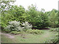
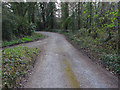
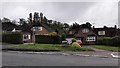
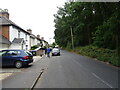
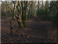
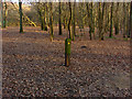
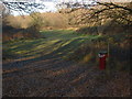
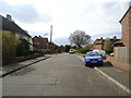
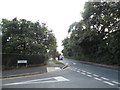
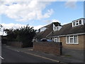
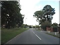
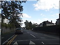
19 photos from this area
Area Information
Key information about the KT16 0HU including its size, population, and administrative classification.
- Area Type
- Postcode
- Area Size
- 5.4 hectares
- Population
- 1424
- Population Density
- 1695 people/km²
House Prices in KT16 0HU
19
Properties
£441,615
Average Sold Price
£105,000
Lowest Price
£880,000
Highest Price
Showing 19 properties
| Address | Type | Beds | Baths | Last Sale Price | Last Sale Date | |
|---|---|---|---|---|---|---|
| Tanglewood, Spratts Lane, Ottershaw, KT16 0HU | Chalet | 3 | 2 | £500,000 | Oct 2024 | |
| Oakleigh, Spratts Lane, Ottershaw, KT16 0HU | Detached | 4 | 2 | £880,000 | Oct 2023 | |
| Mount Pleasant, Spratts Lane, Ottershaw, KT16 0HU | Detached | 3 | - | £820,000 | Sep 2021 | |
| White Walls, Spratts Lane, Ottershaw, KT16 0HU | Semi-detached | 2 | 1 | £300,000 | Aug 2015 | |
| Tulip Tree Cottage, Spratts Lane, Ottershaw, KT16 0HU | house | - | - | £740,000 | Jan 2010 | |
| Cobweb Cottage, Spratts Lane, Ottershaw, KT16 0HU | Semi-detached | 3 | 2 | £350,000 | Aug 2009 | |
| Aprilwood, Spratts Lane, Ottershaw, KT16 0HU | Semi-detached | - | - | £377,500 | Jun 2009 | |
| Styger House, Spratts Lane, Ottershaw, KT16 0HU | Detached | - | - | £602,500 | Oct 2007 | |
| Holly Tree Cottage, Spratts Lane, Ottershaw, KT16 0HU | Detached | - | - | £170,000 | Jul 2005 | |
| Lanes End, Spratts Lane, Ottershaw, KT16 0HU | Detached | - | - | £372,500 | Sep 2002 |
Page 1 of 2
Energy Efficiency in KT16 0HU
Amenities
Schools
| Rank | School | Type | Entry gender | Ages |
|---|
Explore more schools in this area
Go to Schools tabDemographics
Household Size
One person
most common
Accommodation Type
Houses
most common
Tenure
58
majority
Ethnic Group
White
most common
Religion
N/A
most common
Household Composition
N/A
most common
Age
47
median
Adults (30-64 years)
most common
Household Deprivation
N/A
with no deprivation
NS-SEC
41
in Lower managerial occupations
Explore more demographic insights in this area
Go to Demographics tabPlanning
Planning Constraints
- Flood RiskPremium
- Ramsar Wetland SitesPremium
- Area of Outstanding Natural BeautyPremium
- Protected Nature ReservePremium
- Protected WoodlandPremium