Area Overview for KT16 0GB
Photos of KT16 0GB
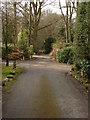
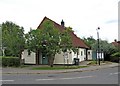
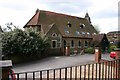
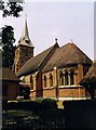
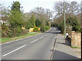
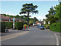
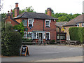
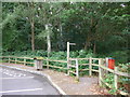
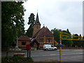
67 photos from this area
Area Information
Key information about the KT16 0GB including its size, population, and administrative classification.
- Area Type
- Postcode
- Area Size
- 4645 m²
- Population
- 1424
- Population Density
- 1695 people/km²
House Prices in KT16 0GB
20
Properties
£378,362
Average Sold Price
£106,995
Lowest Price
£630,000
Highest Price
Showing 20 properties
| Address | Type | Beds | Baths | Last Sale Price | Last Sale Date | |
|---|---|---|---|---|---|---|
| 2 Gray Place, Chertsey, KT16 0GB | Terraced | 4 | 2 | £514,800 | Dec 2024 | |
| 4 Gray Place, Chertsey, KT16 0GB | Retail | 4 | 2 | £630,000 | Sep 2022 | |
| 15 Gray Place, Chertsey, KT16 0GB | Semi-detached | 2 | 2 | £360,000 | Apr 2021 | |
| 12 Gray Place, Chertsey, KT16 0GB | Terraced | 4 | 2 | £485,000 | Dec 2019 | |
| 19 Gray Place, Chertsey, KT16 0GB | Terraced | 2 | 2 | £355,000 | Oct 2019 | |
| 17 Gray Place, Chertsey, KT16 0GB | Terraced | 2 | 2 | £342,000 | Sep 2019 | |
| 1 Gray Place, Chertsey, KT16 0GB | Semi-detached | 4 | 2 | £440,000 | May 2019 | |
| 8 Gray Place, Chertsey, KT16 0GB | Detached | 4 | 3 | £465,000 | Jan 2019 | |
| 9 Gray Place, Chertsey, KT16 0GB | Terraced | 4 | 3 | £480,000 | Dec 2018 | |
| 3 Gray Place, Chertsey, KT16 0GB | Terraced | 4 | 3 | £435,000 | May 2017 |
Page 1 of 2
Energy Efficiency in KT16 0GB
Amenities
Schools
| Rank | School | Type | Entry gender | Ages |
|---|
Explore more schools in this area
Go to Schools tabDemographics
Household Size
One person
most common
Accommodation Type
Houses
most common
Tenure
58
majority
Ethnic Group
White
most common
Religion
N/A
most common
Household Composition
N/A
most common
Age
47
median
Adults (30-64 years)
most common
Household Deprivation
N/A
with no deprivation
NS-SEC
41
in Lower managerial occupations
Explore more demographic insights in this area
Go to Demographics tabPlanning
Planning Constraints
- Flood RiskPremium
- Ramsar Wetland SitesPremium
- Area of Outstanding Natural BeautyPremium
- Protected Nature ReservePremium
- Protected WoodlandPremium