Area Overview for KT15 2JS
Photos of KT15 2JS
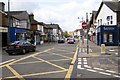
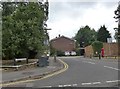
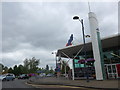
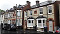
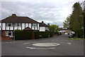
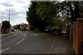
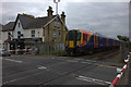
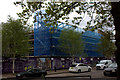

59 photos from this area
Area Information
Key information about the KT15 2JS including its size, population, and administrative classification.
- Area Type
- Postcode
- Area Size
- 4.4 hectares
- Population
- 1429
- Population Density
- 838 people/km²
House Prices in KT15 2JS
33
Properties
£226,861
Average Sold Price
£90,000
Lowest Price
£437,500
Highest Price
Showing 33 properties
| Address | Type | Beds | Baths | Last Sale Price | Last Sale Date | |
|---|---|---|---|---|---|---|
| 39 Heron Dale, Addlestone, KT15 2JS | Terraced | 2 | 1 | £373,000 | Oct 2025 | |
| 41 Heron Dale, Addlestone, KT15 2JS | house | 3 | 1 | £437,500 | Jun 2022 | |
| 37 Heron Dale, Addlestone, KT15 2JS | house | 2 | 1 | £317,950 | Apr 2016 | |
| 21 Heron Dale, Addlestone, KT15 2JS | house | - | - | £310,000 | Jan 2011 | |
| 27 Heron Dale, Addlestone, KT15 2JS | house | - | - | £208,000 | Jun 2010 | |
| 31 Heron Dale, Addlestone, KT15 2JS | house | - | - | £221,000 | Dec 2009 | |
| 9 Heron Dale, Addlestone, KT15 2JS | house | - | - | £242,500 | May 2009 | |
| 4 Heron Dale, Addlestone, KT15 2JS | Semi-detached | 3 | - | £270,000 | May 2007 | |
| 43 Heron Dale, Addlestone, KT15 2JS | Terraced | 2 | 1 | £219,000 | Sep 2006 | |
| 11 Heron Dale, Addlestone, KT15 2JS | Semi-detached | 3 | 2 | £249,950 | May 2006 |
Page 1 of 4
Energy Efficiency in KT15 2JS
Amenities
Schools
| Rank | School | Type | Entry gender | Ages |
|---|
Explore more schools in this area
Go to Schools tabDemographics
Household Size
Family (3-5 people)
most common
Accommodation Type
Houses
most common
Tenure
82
majority
Ethnic Group
White
most common
Religion
N/A
most common
Household Composition
N/A
most common
Age
47
median
Adults (30-64 years)
most common
Household Deprivation
N/A
with no deprivation
NS-SEC
44
in Lower managerial occupations
Explore more demographic insights in this area
Go to Demographics tabPlanning
Planning Constraints
- Flood RiskPremium
- Ramsar Wetland SitesPremium
- Area of Outstanding Natural BeautyPremium
- Protected Nature ReservePremium
- Protected WoodlandPremium