Area Overview for KT15 2AX
Photos of KT15 2AX
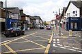
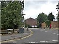
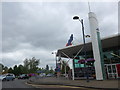
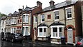
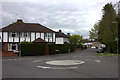
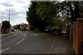
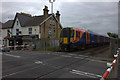
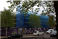
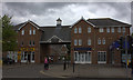
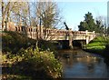
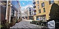
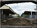
59 photos from this area
Area Information
Key information about the KT15 2AX including its size, population, and administrative classification.
- Area Type
- Postcode
- Area Size
- 1.4 hectares
- Population
- 2588
- Population Density
- 2957 people/km²
House Prices in KT15 2AX
33
Properties
£326,438
Average Sold Price
£153,000
Lowest Price
£445,000
Highest Price
Showing 33 properties
| Address | Type | Beds | Baths | Last Sale Price | Last Sale Date | |
|---|---|---|---|---|---|---|
| 9 Victory Park Road, Addlestone, KT15 2AX | Semi-detached | 2 | 2 | £335,000 | Mar 2024 | |
| 10 Victory Park Road, Addlestone, KT15 2AX | Semi-detached | 2 | 1 | £385,000 | Dec 2021 | |
| 1 Victory Park Road, Addlestone, KT15 2AX | Flat | 2 | 2 | £400,000 | Sep 2021 | |
| 25 Victory Park Road, Addlestone, KT15 2AX | Semi-detached | 4 | 2 | £445,000 | Aug 2019 | |
| 8 Victory Park Road, Addlestone, KT15 2AX | Semi-detached | 3 | 1 | £430,000 | Sep 2017 | |
| 6 Victory Park Road, Addlestone, KT15 2AX | house | - | - | £230,000 | Jul 2013 | |
| 16 Victory Park Road, Addlestone, KT15 2AX | house | - | - | £233,500 | May 2012 | |
| 24 Victory Park Road, Addlestone, KT15 2AX | Semi-detached | - | - | £153,000 | Oct 2000 | |
| 28 Victory Park Road, Addlestone, KT15 2AX | Semi-detached | 4 | 1 | - | - | |
| Flat 2, William Court, 2 Victory Park Road, Addlestone, KT15 2AX | Flat | 4 | - | - | - |
Page 1 of 4
Energy Efficiency in KT15 2AX
Amenities
Schools
| Rank | School | Type | Entry gender | Ages |
|---|
Explore more schools in this area
Go to Schools tabDemographics
Household Size
One person
most common
Accommodation Type
Flats
most common
Tenure
64
majority
Ethnic Group
White
most common
Religion
N/A
most common
Household Composition
N/A
most common
Age
47
median
Adults (30-64 years)
most common
Household Deprivation
N/A
with no deprivation
NS-SEC
41
in Lower managerial occupations
Explore more demographic insights in this area
Go to Demographics tabPlanning
Planning Constraints
- Flood RiskPremium
- Ramsar Wetland SitesPremium
- Area of Outstanding Natural BeautyPremium
- Protected Nature ReservePremium
- Protected WoodlandPremium