Area Overview for KT15 1PS
Photos of KT15 1PS
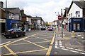
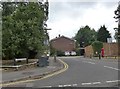
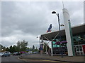
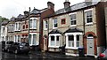
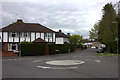
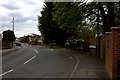
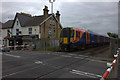
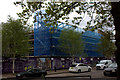
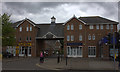
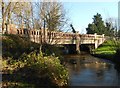
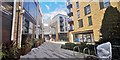

59 photos from this area
Area Information
Key information about the KT15 1PS including its size, population, and administrative classification.
- Area Type
- Postcode
- Area Size
- 1.1 hectares
- Population
- 2196
- Population Density
- 6835 people/km²
House Prices in KT15 1PS
18
Properties
£374,000
Average Sold Price
£137,000
Lowest Price
£541,500
Highest Price
Showing 18 properties
| Address | Type | Beds | Baths | Last Sale Price | Last Sale Date | |
|---|---|---|---|---|---|---|
| 10 Caselden Close, Addlestone, KT15 1PS | Semi-detached | 5 | 2 | £517,500 | Nov 2024 | |
| 8 Caselden Close, Addlestone, KT15 1PS | Semi-detached | 3 | 1 | £541,500 | Apr 2022 | |
| 9 Caselden Close, Addlestone, KT15 1PS | house | 4 | 2 | £500,000 | Sep 2021 | |
| 13 Caselden Close, Addlestone, KT15 1PS | house | - | - | £425,000 | Oct 2020 | |
| 6 Caselden Close, Addlestone, KT15 1PS | Semi-detached | 3 | - | £407,000 | Sep 2017 | |
| 23 Caselden Close, Addlestone, KT15 1PS | house | - | - | £476,000 | Dec 2016 | |
| 7 Caselden Close, Addlestone, KT15 1PS | Semi-detached | 3 | - | £281,000 | Aug 2013 | |
| 15 Caselden Close, Addlestone, KT15 1PS | house | 3 | - | £295,000 | Aug 2012 | |
| 11 Caselden Close, Addlestone, KT15 1PS | Terraced | - | - | £160,000 | Oct 2001 | |
| 5 Caselden Close, Addlestone, KT15 1PS | Semi-detached | - | - | £137,000 | Jul 2000 |
Page 1 of 2
Energy Efficiency in KT15 1PS
Amenities
Schools
| Rank | School | Type | Entry gender | Ages |
|---|
Explore more schools in this area
Go to Schools tabDemographics
Household Size
One person
most common
Accommodation Type
Flats
most common
Tenure
45
majority
Ethnic Group
White
most common
Religion
N/A
most common
Household Composition
N/A
most common
Age
47
median
Adults (30-64 years)
most common
Household Deprivation
N/A
with no deprivation
NS-SEC
31
in Lower managerial occupations
Explore more demographic insights in this area
Go to Demographics tabPlanning
Planning Constraints
- Flood RiskPremium
- Ramsar Wetland SitesPremium
- Area of Outstanding Natural BeautyPremium
- Protected Nature ReservePremium
- Protected WoodlandPremium