Area Overview for KT15 1EY
Photos of KT15 1EY
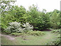
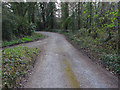
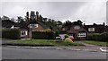
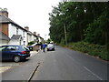
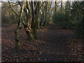
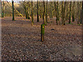
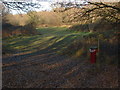
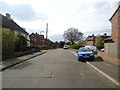
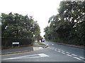
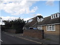
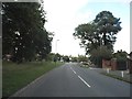

19 photos from this area
Area Information
Key information about the KT15 1EY including its size, population, and administrative classification.
- Area Type
- Postcode
- Area Size
- 8800 m²
- Population
- 2020
- Population Density
- 1745 people/km²
House Prices in KT15 1EY
9
Properties
£509,167
Average Sold Price
£475,000
Lowest Price
£552,500
Highest Price
Showing 9 properties
| Address | Type | Beds | Baths | Last Sale Price | Last Sale Date | |
|---|---|---|---|---|---|---|
| 75 Row Town, Addlestone, KT15 1EY | Detached | 3 | 2 | £552,500 | Oct 2025 | |
| 73 Row Town, Addlestone, KT15 1EY | Bungalow | 3 | 1 | £500,000 | Aug 2025 | |
| 77 Row Town, Addlestone, KT15 1EY | Semi-detached | 3 | 2 | £475,000 | Sep 2020 | |
| The Cricketers, 32 Row Town, Addlestone, KT15 1EY | restaurant_cafe | - | - | - | - | |
| Accommodation At, The Cricketers, 32 Row Town, Addlestone, KT15 1EY | Flat | - | - | - | - | |
| 79 Row Town, Addlestone, KT15 1EY | Semi-detached | - | - | - | - | |
| Howards Residential Home, 24 Row Town, Addlestone, KT15 1EY | Retirement | - | - | - | - | |
| 71 Row Town, Addlestone, KT15 1EY | Detached | - | - | - | - | |
| 69 Row Town, Addlestone, KT15 1EY | Detached | - | - | - | - |
Energy Efficiency in KT15 1EY
Amenities
Schools
| Rank | School | Type | Entry gender | Ages |
|---|
Explore more schools in this area
Go to Schools tabDemographics
Household Size
Two person
most common
Accommodation Type
Houses
most common
Tenure
86
majority
Ethnic Group
White
most common
Religion
N/A
most common
Household Composition
N/A
most common
Age
47
median
Adults (30-64 years)
most common
Household Deprivation
N/A
with no deprivation
NS-SEC
40
in Lower managerial occupations
Explore more demographic insights in this area
Go to Demographics tabPlanning
Planning Constraints
- Flood RiskPremium
- Ramsar Wetland SitesPremium
- Area of Outstanding Natural BeautyPremium
- Protected Nature ReservePremium
- Protected WoodlandPremium