Area Overview for KT15 1AW
Photos of KT15 1AW
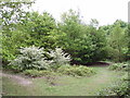
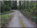
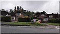
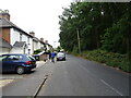
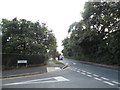
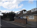
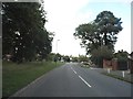
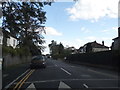
19 photos from this area
Area Information
Key information about the KT15 1AW including its size, population, and administrative classification.
- Area Type
- Postcode
- Area Size
- 2.2 hectares
- Population
- 2020
- Population Density
- 1745 people/km²
House Prices in KT15 1AW
46
Properties
£459,314
Average Sold Price
£85,000
Lowest Price
£875,000
Highest Price
Showing 46 properties
| Address | Type | Beds | Baths | Last Sale Price | Last Sale Date | |
|---|---|---|---|---|---|---|
| 17 Dickens Drive, Addlestone, KT15 1AW | Bungalow | 2 | 2 | £485,000 | Jul 2025 | |
| 18 Dickens Drive, Addlestone, KT15 1AW | Bungalow | 3 | 2 | £645,000 | May 2024 | |
| 11A Dickens Drive, Addlestone, KT15 1AW | Bungalow | 2 | 1 | £442,500 | May 2024 | |
| 36 Dickens Drive, Addlestone, KT15 1AW | Semi-detached | 2 | 1 | £405,000 | Dec 2023 | |
| 27 Dickens Drive, Addlestone, KT15 1AW | Bungalow | 3 | 1 | £590,000 | Nov 2023 | |
| 24 Dickens Drive, Addlestone, KT15 1AW | Detached | 4 | 3 | £710,000 | Oct 2023 | |
| 12 Dickens Drive, Addlestone, KT15 1AW | Detached | 4 | 2 | £700,000 | Aug 2023 | |
| 37 Dickens Drive, Addlestone, KT15 1AW | Detached | 3 | 1 | £640,000 | Jun 2023 | |
| 39 Dickens Drive, Addlestone, KT15 1AW | Detached | 2 | 1 | £550,000 | Mar 2023 | |
| 45 Dickens Drive, Addlestone, KT15 1AW | Detached | 4 | 2 | £665,000 | Dec 2022 |
Page 1 of 5
Energy Efficiency in KT15 1AW
Amenities
Schools
| Rank | School | Type | Entry gender | Ages |
|---|
Explore more schools in this area
Go to Schools tabDemographics
Household Size
Two person
most common
Accommodation Type
Houses
most common
Tenure
86
majority
Ethnic Group
White
most common
Religion
N/A
most common
Household Composition
N/A
most common
Age
47
median
Adults (30-64 years)
most common
Household Deprivation
N/A
with no deprivation
NS-SEC
40
in Lower managerial occupations
Explore more demographic insights in this area
Go to Demographics tabPlanning
Planning Constraints
- Flood RiskPremium
- Ramsar Wetland SitesPremium
- Area of Outstanding Natural BeautyPremium
- Protected Nature ReservePremium
- Protected WoodlandPremium