Area Overview for KT12 4PJ
Photos of KT12 4PJ


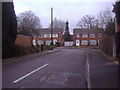
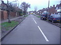
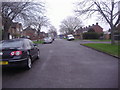
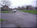
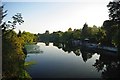
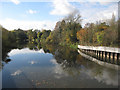
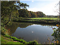
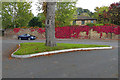
26 photos from this area
Area Information
Key information about the KT12 4PJ including its size, population, and administrative classification.
- Area Type
- Postcode
- Area Size
- 1.6 hectares
- Population
- 1566
- Population Density
- 1867 people/km²
House Prices in KT12 4PJ
40
Properties
£361,182
Average Sold Price
£222,500
Lowest Price
£585,000
Highest Price
Showing 40 properties
| Address | Type | Beds | Baths | Last Sale Price | Last Sale Date | |
|---|---|---|---|---|---|---|
| 61A Southdown Road, Hersham, Walton On Thames, KT12 4PJ | Terraced | 2 | 2 | £460,000 | Mar 2025 | |
| 18 Southdown Road, Hersham, Walton On Thames, KT12 4PJ | Semi-detached | 3 | 1 | £585,000 | Sep 2024 | |
| 87 Southdown Road, Hersham, Walton On Thames, KT12 4PJ | Semi-detached | 3 | 1 | £470,000 | May 2024 | |
| 83 Southdown Road, Hersham, Walton On Thames, KT12 4PJ | Semi-detached | 4 | 2 | £503,500 | Sep 2020 | |
| 85 Southdown Road, Hersham, Walton On Thames, KT12 4PJ | Semi-detached | 3 | 2 | £488,000 | Dec 2018 | |
| 49 Southdown Road, Hersham, Walton On Thames, KT12 4PJ | house | - | - | £250,000 | Nov 2012 | |
| 34 Southdown Road, Hersham, Walton On Thames, KT12 4PJ | house | 3 | - | £270,000 | Dec 2011 | |
| 26 Southdown Road, Hersham, Walton On Thames, KT12 4PJ | house | 3 | - | £250,000 | May 2010 | |
| 20 Southdown Road, Hersham, Walton On Thames, KT12 4PJ | Semi-detached | - | - | £246,000 | Feb 2007 | |
| 38 Southdown Road, Hersham, Walton On Thames, KT12 4PJ | Terraced | - | - | £222,500 | Jul 2005 |
Page 1 of 4
Energy Efficiency in KT12 4PJ
Amenities
Schools
| Rank | School | Type | Entry gender | Ages |
|---|
Explore more schools in this area
Go to Schools tabDemographics
Household Size
Family (3-5 people)
most common
Accommodation Type
Houses
most common
Tenure
60
majority
Ethnic Group
White
most common
Religion
N/A
most common
Household Composition
N/A
most common
Age
47
median
Adults (30-64 years)
most common
Household Deprivation
N/A
with no deprivation
NS-SEC
39
in Lower managerial occupations
Explore more demographic insights in this area
Go to Demographics tabPlanning
Planning Constraints
- Flood RiskPremium
- Ramsar Wetland SitesPremium
- Area of Outstanding Natural BeautyPremium
- Protected Nature ReservePremium
- Protected WoodlandPremium