Area Overview for KT12 1NE
Photos of KT12 1NE
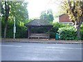
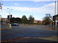
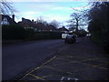
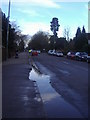

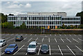
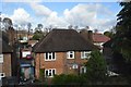
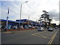
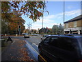
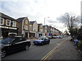
26 photos from this area
Area Information
Key information about the KT12 1NE including its size, population, and administrative classification.
- Area Type
- Postcode
- Area Size
- 2.6 hectares
- Population
- 1956
- Population Density
- 3988 people/km²
House Prices in KT12 1NE
15
Properties
£1,928,143
Average Sold Price
£900,000
Lowest Price
£3,515,000
Highest Price
Showing 15 properties
| Address | Type | Beds | Baths | Last Sale Price | Last Sale Date | |
|---|---|---|---|---|---|---|
| 1A Ashley Rise, Walton On Thames, KT12 1NE | house | - | - | £3,515,000 | Jan 2024 | |
| 1 Ashley Rise, Walton On Thames, KT12 1NE | Detached | 5 | 3 | £2,025,000 | Jun 2023 | |
| 5 Ashley Rise, Walton On Thames, KT12 1NE | Detached | 5 | 5 | £2,000,000 | Jan 2019 | |
| 17 Ashley Rise, Walton On Thames, KT12 1NE | Detached | 6 | 4 | £1,565,000 | Feb 2014 | |
| 9 Ashley Rise, Walton On Thames, KT12 1NE | Detached | 5 | - | £1,942,000 | Jan 2014 | |
| 11 Ashley Rise, Walton On Thames, KT12 1NE | house | - | - | £1,550,000 | Oct 2013 | |
| Green Acre, 15A Ashley Rise, Walton On Thames, KT12 1NE | Semi-detached | - | - | £900,000 | Jul 2005 | |
| 19B Ashley Rise, Walton On Thames, KT12 1NE | Semi-detached | 3 | 1 | - | - | |
| 19A Ashley Rise, Walton On Thames, KT12 1NE | Semi-detached | 3 | 1 | - | - | |
| 1B Ashley Rise, Walton On Thames, KT12 1NE | house | 6 | - | - | - |
Page 1 of 2
Energy Efficiency in KT12 1NE
Amenities
Schools
| Rank | School | Type | Entry gender | Ages |
|---|
Explore more schools in this area
Go to Schools tabDemographics
Household Size
One person
most common
Accommodation Type
Flats
most common
Tenure
56
majority
Ethnic Group
White
most common
Religion
N/A
most common
Household Composition
N/A
most common
Age
47
median
Adults (30-64 years)
most common
Household Deprivation
N/A
with no deprivation
NS-SEC
49
in Lower managerial occupations
Explore more demographic insights in this area
Go to Demographics tabPlanning
Planning Constraints
- Flood RiskPremium
- Ramsar Wetland SitesPremium
- Area of Outstanding Natural BeautyPremium
- Protected Nature ReservePremium
- Protected WoodlandPremium