Area Overview for KT12 1LW
Photos of KT12 1LW
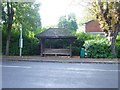
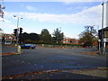
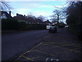
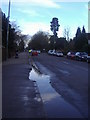

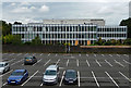
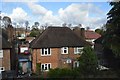
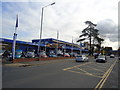
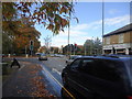
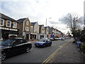
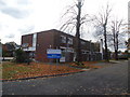

26 photos from this area
Area Information
Key information about the KT12 1LW including its size, population, and administrative classification.
- Area Type
- Postcode
- Area Size
- 7693 m²
- Population
- 1956
- Population Density
- 3988 people/km²
House Prices in KT12 1LW
20
Properties
£538,438
Average Sold Price
£420,000
Lowest Price
£640,000
Highest Price
Showing 20 properties
| Address | Type | Beds | Baths | Last Sale Price | Last Sale Date | |
|---|---|---|---|---|---|---|
| 15 Wynton Grove, Walton On Thames, KT12 1LW | Terraced | 3 | 1 | £597,500 | May 2023 | |
| 10 Wynton Grove, Walton On Thames, KT12 1LW | Terraced | 3 | 1 | £525,000 | Jun 2021 | |
| 16 Wynton Grove, Walton On Thames, KT12 1LW | house | 4 | - | £640,000 | Jun 2021 | |
| 1 Wynton Grove, Walton On Thames, KT12 1LW | Terraced | 4 | 2 | £550,000 | Feb 2018 | |
| 18 Wynton Grove, Walton On Thames, KT12 1LW | house | - | - | £540,000 | Aug 2017 | |
| 17 Wynton Grove, Walton On Thames, KT12 1LW | Terraced | 4 | 2 | £540,000 | Mar 2017 | |
| 3 Wynton Grove, Walton On Thames, KT12 1LW | house | - | - | £495,000 | Aug 2016 | |
| 14 Wynton Grove, Walton On Thames, KT12 1LW | Semi-detached | 4 | 2 | £420,000 | May 2012 | |
| 2 Wynton Grove, Walton On Thames, KT12 1LW | Terraced | 3 | 1 | - | - | |
| 6 Wynton Grove, Walton On Thames, KT12 1LW | house | 3 | 1 | - | - |
Page 1 of 2
Energy Efficiency in KT12 1LW
Amenities
Schools
| Rank | School | Type | Entry gender | Ages |
|---|
Explore more schools in this area
Go to Schools tabDemographics
Household Size
One person
most common
Accommodation Type
Flats
most common
Tenure
56
majority
Ethnic Group
White
most common
Religion
N/A
most common
Household Composition
N/A
most common
Age
47
median
Adults (30-64 years)
most common
Household Deprivation
N/A
with no deprivation
NS-SEC
49
in Lower managerial occupations
Explore more demographic insights in this area
Go to Demographics tabPlanning
Planning Constraints
- Flood RiskPremium
- Ramsar Wetland SitesPremium
- Area of Outstanding Natural BeautyPremium
- Protected Nature ReservePremium
- Protected WoodlandPremium