Area Overview for KT11 2RW
Photos of KT11 2RW
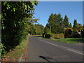
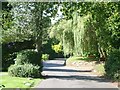
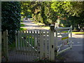
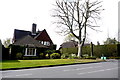
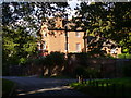
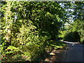
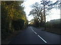
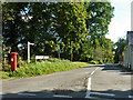
13 photos from this area
Area Information
Key information about the KT11 2RW including its size, population, and administrative classification.
- Area Type
- Postcode
- Area Size
- 3.4 hectares
- Population
- 1592
- Population Density
- 1647 people/km²
House Prices in KT11 2RW
14
Properties
£3,395,000
Average Sold Price
£410,000
Lowest Price
£6,000,000
Highest Price
Showing 14 properties
| Address | Type | Beds | Baths | Last Sale Price | Last Sale Date | |
|---|---|---|---|---|---|---|
| 3 Oxshott Rise, Cobham, KT11 2RW | house | - | - | £6,000,000 | Jan 2024 | |
| 25 Oxshott Rise, Cobham, KT11 2RW | house | - | - | £4,250,000 | Feb 2021 | |
| 15 Oxshott Rise, Cobham, KT11 2RW | house | - | - | £2,150,000 | Mar 2015 | |
| 17 Oxshott Rise, Cobham, KT11 2RW | house | 5 | - | £5,200,000 | Oct 2014 | |
| 19 Oxshott Rise, Cobham, KT11 2RW | Detached | 6 | 7 | £3,850,000 | Jun 2013 | |
| 27 Oxshott Rise, Cobham, KT11 2RW | Detached | - | - | £3,250,000 | Sep 2008 | |
| 7 Oxshott Rise, Cobham, KT11 2RW | Detached | 4 | 7 | £2,050,000 | Jul 2007 | |
| 11 Oxshott Rise, Cobham, KT11 2RW | Detached | - | - | £410,000 | Jun 1995 | |
| Annexe, 17 Oxshott Rise, Cobham, KT11 2RW | Flat | - | - | - | - | |
| Annexe, 25 Oxshott Rise, Cobham, KT11 2RW | Flat | - | - | - | - |
Page 1 of 2
Energy Efficiency in KT11 2RW
Amenities
Schools
| Rank | School | Type | Entry gender | Ages |
|---|
Explore more schools in this area
Go to Schools tabDemographics
Household Size
Family (3-5 people)
most common
Accommodation Type
Houses
most common
Tenure
75
majority
Ethnic Group
White
most common
Religion
N/A
most common
Household Composition
N/A
most common
Age
47
median
Adults (30-64 years)
most common
Household Deprivation
N/A
with no deprivation
NS-SEC
52
in Lower managerial occupations
Explore more demographic insights in this area
Go to Demographics tabPlanning
Planning Constraints
- Flood RiskPremium
- Ramsar Wetland SitesPremium
- Area of Outstanding Natural BeautyPremium
- Protected Nature ReservePremium
- Protected WoodlandPremium