Area Overview for KT11 2QT
Photos of KT11 2QT
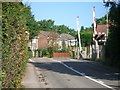
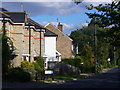
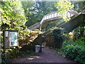
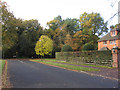
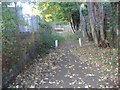
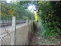
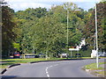
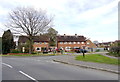
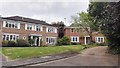
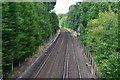
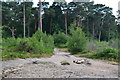
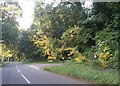
29 photos from this area
Area Information
Key information about the KT11 2QT including its size, population, and administrative classification.
- Area Type
- Postcode
- Area Size
- 1.8 hectares
- Population
- 1681
- Population Density
- 925 people/km²
House Prices in KT11 2QT
14
Properties
£885,000
Average Sold Price
£250,000
Lowest Price
£1,280,000
Highest Price
Showing 14 properties
| Address | Type | Beds | Baths | Last Sale Price | Last Sale Date | |
|---|---|---|---|---|---|---|
| 25 Somerville Road, Cobham, KT11 2QT | Detached | 4 | - | £1,270,000 | Jun 2021 | |
| 9 Somerville Road, Cobham, KT11 2QT | Detached | 6 | 3 | £1,060,000 | Apr 2020 | |
| Blossom House, 17 Somerville Road, Cobham, KT11 2QT | Detached | 4 | 3 | £935,000 | Mar 2020 | |
| 19 Somerville Road, Cobham, KT11 2QT | Detached | 4 | 2 | £835,000 | Apr 2015 | |
| 11 Somerville Road, Cobham, KT11 2QT | house | - | - | £835,000 | Sep 2012 | |
| 31 Somerville Road, Cobham, KT11 2QT | Detached | 5 | 3 | £1,280,000 | Apr 2012 | |
| 3 Somerville Road, Cobham, KT11 2QT | Detached | 4 | 2 | £615,000 | Jun 2005 | |
| 5 Somerville Road, Cobham, KT11 2QT | Detached | - | - | £250,000 | Apr 1998 | |
| 21 Somerville Road, Cobham, KT11 2QT | Detached | 5 | 3 | - | - | |
| 7 Somerville Road, Cobham, KT11 2QT | Detached | 4 | 1 | - | - |
Page 1 of 2
Energy Efficiency in KT11 2QT
Amenities
Schools
| Rank | School | Type | Entry gender | Ages |
|---|
Explore more schools in this area
Go to Schools tabDemographics
Household Size
Family (3-5 people)
most common
Accommodation Type
Houses
most common
Tenure
78
majority
Ethnic Group
White
most common
Religion
N/A
most common
Household Composition
N/A
most common
Age
47
median
Adults (30-64 years)
most common
Household Deprivation
N/A
with no deprivation
NS-SEC
55
in Lower managerial occupations
Explore more demographic insights in this area
Go to Demographics tabPlanning
Planning Constraints
- Flood RiskPremium
- Ramsar Wetland SitesPremium
- Area of Outstanding Natural BeautyPremium
- Protected Nature ReservePremium
- Protected WoodlandPremium