Area Overview for KT11 2PA
Photos of KT11 2PA
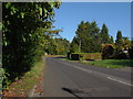
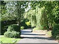
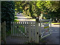
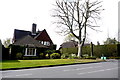
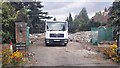
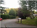
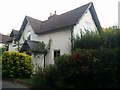
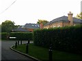
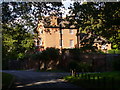
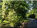
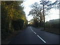
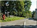
13 photos from this area
Area Information
Key information about the KT11 2PA including its size, population, and administrative classification.
- Area Type
- Postcode
- Area Size
- 4.0 hectares
- Population
- 1821
- Population Density
- 507 people/km²
House Prices in KT11 2PA
28
Properties
£1,901,268
Average Sold Price
£499,950
Lowest Price
£2,600,000
Highest Price
Showing 28 properties
| Address | Type | Beds | Baths | Last Sale Price | Last Sale Date | |
|---|---|---|---|---|---|---|
| 31 Water Lane, Cobham, KT11 2PA | Detached | 5 | 3 | £1,750,000 | Oct 2023 | |
| Elsmore, 21C Water Lane, Cobham, KT11 2PA | Detached | - | - | £2,600,000 | Jun 2021 | |
| Henley House, 25B Water Lane, Cobham, KT11 2PA | Detached | 5 | 5 | £2,400,000 | Nov 2020 | |
| Appleton, 23A Water Lane, Cobham, KT11 2PA | Detached | - | - | £2,300,000 | Jul 2018 | |
| 35 Water Lane, Cobham, KT11 2PA | house | 5 | - | £1,400,000 | Jun 2015 | |
| 17 Water Lane, Cobham, KT11 2PA | Detached | 6 | 4 | £1,675,000 | Jul 2014 | |
| Pinehurst, 19 Water Lane, Cobham, KT11 2PA | Detached | 6 | 4 | £2,395,000 | Mar 2011 | |
| Beechwood House, 15A Water Lane, Cobham, KT11 2PA | Detached | - | - | £1,810,000 | Oct 2009 | |
| Ashton House, 15 Water Lane, Cobham, KT11 2PA | Detached | 6 | 5 | £1,734,000 | Aug 2009 | |
| 29 Water Lane, Cobham, KT11 2PA | house | - | - | £2,350,000 | Jun 2009 |
Page 1 of 3
Energy Efficiency in KT11 2PA
Amenities
Schools
| Rank | School | Type | Entry gender | Ages |
|---|
Explore more schools in this area
Go to Schools tabDemographics
Household Size
Family (3-5 people)
most common
Accommodation Type
Houses
most common
Tenure
79
majority
Ethnic Group
White
most common
Religion
N/A
most common
Household Composition
N/A
most common
Age
47
median
Adults (30-64 years)
most common
Household Deprivation
N/A
with no deprivation
NS-SEC
57
in Lower managerial occupations
Explore more demographic insights in this area
Go to Demographics tabPlanning
Planning Constraints
- Flood RiskPremium
- Ramsar Wetland SitesPremium
- Area of Outstanding Natural BeautyPremium
- Protected Nature ReservePremium
- Protected WoodlandPremium