Area Overview for KT11 2EL
Photos of KT11 2EL
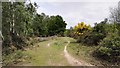
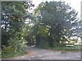
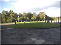
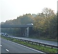

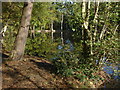
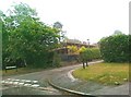
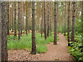
15 photos from this area
Area Information
Key information about the KT11 2EL including its size, population, and administrative classification.
- Area Type
- Postcode
- Area Size
- 6.3 hectares
- Population
- 1653
- Population Density
- 1328 people/km²
House Prices in KT11 2EL
28
Properties
£944,000
Average Sold Price
£359,000
Lowest Price
£1,925,000
Highest Price
Showing 28 properties
| Address | Type | Beds | Baths | Last Sale Price | Last Sale Date | |
|---|---|---|---|---|---|---|
| Hazyview, Sandy Lane, Cobham, KT11 2EL | Detached | 5 | 4 | £1,450,000 | Jan 2021 | |
| Lavender Cottage, Sandy Lane, Cobham, KT11 2EL | Terraced | 3 | 1 | £515,000 | Jul 2019 | |
| Grey Sands, Sandy Lane, Cobham, KT11 2EL | Detached | 6 | 5 | £1,620,000 | Apr 2016 | |
| Sandown Cottage, Sandy Lane, Cobham, KT11 2EL | Terraced | 3 | 1 | £650,000 | Feb 2016 | |
| Woodgrove House, Sandy Lane, Cobham, KT11 2EL | Detached | 5 | 5 | £1,925,000 | Dec 2015 | |
| Copsewood, Sandy Lane, Cobham, KT11 2EL | Detached | 4 | 3 | £814,000 | Apr 2014 | |
| Elmwood, Sandy Lane, Cobham, KT11 2EL | house | - | - | £787,000 | Apr 2011 | |
| Green Acres, Sandy Lane, Cobham, KT11 2EL | house | - | - | £745,000 | Oct 2010 | |
| Casa California, Sandy Lane, Cobham, KT11 2EL | Detached | - | - | £575,000 | Apr 2004 | |
| Woodfield, Sandy Lane, Cobham, KT11 2EL | Detached | - | - | £359,000 | Nov 1998 |
Page 1 of 3
Energy Efficiency in KT11 2EL
Amenities
Schools
| Rank | School | Type | Entry gender | Ages |
|---|
Explore more schools in this area
Go to Schools tabDemographics
Household Size
Family (3-5 people)
most common
Accommodation Type
Houses
most common
Tenure
83
majority
Ethnic Group
White
most common
Religion
N/A
most common
Household Composition
N/A
most common
Age
47
median
Adults (30-64 years)
most common
Household Deprivation
N/A
with no deprivation
NS-SEC
60
in Lower managerial occupations
Explore more demographic insights in this area
Go to Demographics tabPlanning
Planning Constraints
- Flood RiskPremium
- Ramsar Wetland SitesPremium
- Area of Outstanding Natural BeautyPremium
- Protected Nature ReservePremium
- Protected WoodlandPremium