Area Overview for KT10 9TG
Photos of KT10 9TG
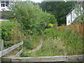

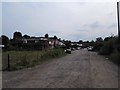
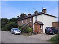

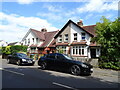
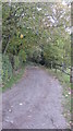
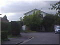
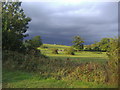
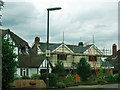
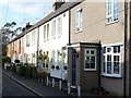
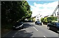
14 photos from this area
Area Information
Key information about the KT10 9TG including its size, population, and administrative classification.
- Area Type
- Postcode
- Area Size
- 3.4 hectares
- Population
- 1590
- Population Density
- 1218 people/km²
House Prices in KT10 9TG
36
Properties
£596,178
Average Sold Price
£215,000
Lowest Price
£980,000
Highest Price
Showing 36 properties
| Address | Type | Beds | Baths | Last Sale Price | Last Sale Date | |
|---|---|---|---|---|---|---|
| 31 Harefield, Esher, KT10 9TG | Detached | 4 | 1 | £980,000 | Apr 2025 | |
| 11 Harefield, Esher, KT10 9TG | house | 4 | - | £975,000 | Jul 2020 | |
| 13 Harefield, Esher, KT10 9TG | Detached | 4 | 1 | £850,000 | Oct 2018 | |
| 53 Harefield, Esher, KT10 9TG | Detached | 3 | 1 | £766,000 | Jul 2018 | |
| 41 Harefield, Esher, KT10 9TG | Detached | 4 | 1 | £755,000 | Nov 2015 | |
| 27 Harefield, Esher, KT10 9TG | Detached | 4 | - | £699,950 | Jul 2014 | |
| 21 Harefield, Esher, KT10 9TG | Detached | 5 | - | £634,400 | Sep 2013 | |
| 29 Harefield, Esher, KT10 9TG | house | - | - | £687,500 | Oct 2012 | |
| 45 Harefield, Esher, KT10 9TG | house | 5 | - | £580,000 | May 2011 | |
| 49 Harefield, Esher, KT10 9TG | Detached | - | - | £402,500 | Jun 2009 |
Page 1 of 4
Energy Efficiency in KT10 9TG
Amenities
Schools
| Rank | School | Type | Entry gender | Ages |
|---|
Explore more schools in this area
Go to Schools tabDemographics
Household Size
Family (3-5 people)
most common
Accommodation Type
Houses
most common
Tenure
93
majority
Ethnic Group
White
most common
Religion
N/A
most common
Household Composition
N/A
most common
Age
47
median
Adults (30-64 years)
most common
Household Deprivation
N/A
with no deprivation
NS-SEC
57
in Lower managerial occupations
Explore more demographic insights in this area
Go to Demographics tabPlanning
Planning Constraints
- Flood RiskPremium
- Ramsar Wetland SitesPremium
- Area of Outstanding Natural BeautyPremium
- Protected Nature ReservePremium
- Protected WoodlandPremium