Area Overview for KT10 9HJ
Photos of KT10 9HJ
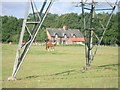
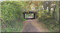
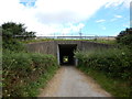
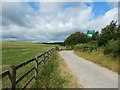
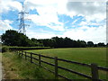
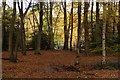
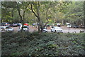
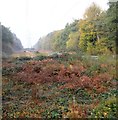
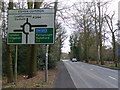
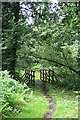
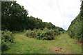
34 photos from this area
Area Information
Key information about the KT10 9HJ including its size, population, and administrative classification.
- Area Type
- Postcode
- Area Size
- 13.3 hectares
- Population
- 1804
- Population Density
- 295 people/km²
House Prices in KT10 9HJ
64
Properties
£210,109
Average Sold Price
£93,500
Lowest Price
£750,000
Highest Price
Showing 64 properties
| Address | Type | Beds | Baths | Last Sale Price | Last Sale Date | |
|---|---|---|---|---|---|---|
| 3, Gunters Mead, Copsem Lane, Esher, KT10 9HJ | Flat | 1 | 1 | £205,000 | Jan 2025 | |
| 54, Gunters Mead, Copsem Lane, Esher, KT10 9HJ | Flat | 2 | 1 | £275,000 | Nov 2024 | |
| 52, Gunters Mead, Copsem Lane, Esher, KT10 9HJ | Flat | 2 | 2 | £279,000 | Aug 2024 | |
| 63, Gunters Mead, Copsem Lane, Esher, KT10 9HJ | Flat | - | - | £215,000 | Jun 2023 | |
| 12, Gunters Mead, Copsem Lane, Esher, KT10 9HJ | Flat | - | - | £220,000 | Dec 2022 | |
| 15, Gunters Mead, Copsem Lane, Esher, KT10 9HJ | Flat | 1 | 1 | £168,000 | Aug 2022 | |
| 64, Gunters Mead, Copsem Lane, Esher, KT10 9HJ | Flat | - | - | £160,000 | May 2022 | |
| 13, Gunters Mead, Copsem Lane, Esher, KT10 9HJ | Flat | - | - | £149,000 | Dec 2021 | |
| 58, Gunters Mead, Copsem Lane, Esher, KT10 9HJ | Flat | - | - | £148,500 | Nov 2020 | |
| 56, Gunters Mead, Copsem Lane, Esher, KT10 9HJ | Flat | 1 | 1 | £190,000 | Sep 2019 |
Page 1 of 7
Energy Efficiency in KT10 9HJ
Amenities
Schools
| Rank | School | Type | Entry gender | Ages |
|---|
Explore more schools in this area
Go to Schools tabDemographics
Household Size
Family (3-5 people)
most common
Accommodation Type
Houses
most common
Tenure
84
majority
Ethnic Group
White
most common
Religion
N/A
most common
Household Composition
N/A
most common
Age
47
median
Adults (30-64 years)
most common
Household Deprivation
N/A
with no deprivation
NS-SEC
56
in Lower managerial occupations
Explore more demographic insights in this area
Go to Demographics tabPlanning
Planning Constraints
- Flood RiskPremium
- Ramsar Wetland SitesPremium
- Area of Outstanding Natural BeautyPremium
- Protected Nature ReservePremium
- Protected WoodlandPremium