Area Overview for KT10 8ED
Photos of KT10 8ED
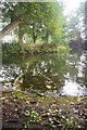
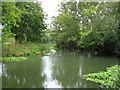
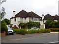
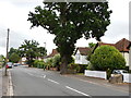
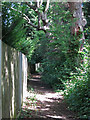
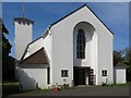
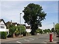
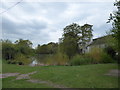
39 photos from this area
Area Information
Key information about the KT10 8ED including its size, population, and administrative classification.
- Area Type
- Postcode
- Area Size
- 1.7 hectares
- Population
- 1672
- Population Density
- 2306 people/km²
House Prices in KT10 8ED
24
Properties
£342,000
Average Sold Price
£93,000
Lowest Price
£505,000
Highest Price
Showing 24 properties
| Address | Type | Beds | Baths | Last Sale Price | Last Sale Date | |
|---|---|---|---|---|---|---|
| 39 Imber Close, Esher, KT10 8ED | Flat | 2 | 1 | £449,000 | Jul 2025 | |
| 46 Imber Close, Esher, KT10 8ED | Flat | - | - | £505,000 | Feb 2023 | |
| 40 Imber Close, Esher, KT10 8ED | Flat | - | - | £475,000 | Jun 2016 | |
| 38 Imber Close, Esher, KT10 8ED | Flat | - | - | £415,000 | Sep 2015 | |
| 30 Imber Close, Esher, KT10 8ED | Flat | 3 | - | £438,000 | Jun 2015 | |
| 33 Imber Close, Esher, KT10 8ED | Flat | - | - | £390,000 | Apr 2011 | |
| 29 Imber Close, Esher, KT10 8ED | Flat | 3 | 1 | £193,000 | Jul 2003 | |
| 27 Imber Close, Esher, KT10 8ED | Flat | - | - | £93,000 | Mar 1997 | |
| 28 Imber Close, Esher, KT10 8ED | Retail | 2 | 1 | £120,000 | Aug 1996 | |
| 36 Imber Close, Esher, KT10 8ED | Flat | 2 | 1 | - | - |
Page 1 of 3
Energy Efficiency in KT10 8ED
Amenities
Schools
| Rank | School | Type | Entry gender | Ages |
|---|
Explore more schools in this area
Go to Schools tabDemographics
Household Size
Family (3-5 people)
most common
Accommodation Type
Houses
most common
Tenure
85
majority
Ethnic Group
White
most common
Religion
N/A
most common
Household Composition
N/A
most common
Age
47
median
Adults (30-64 years)
most common
Household Deprivation
N/A
with no deprivation
NS-SEC
58
in Lower managerial occupations
Explore more demographic insights in this area
Go to Demographics tabPlanning
Planning Constraints
- Flood RiskPremium
- Ramsar Wetland SitesPremium
- Area of Outstanding Natural BeautyPremium
- Protected Nature ReservePremium
- Protected WoodlandPremium