Area Overview for KT10 0RX
Photos of KT10 0RX
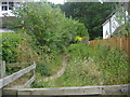
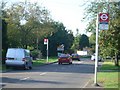
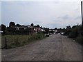
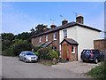
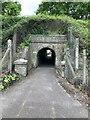
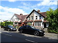
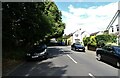
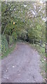
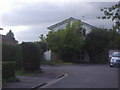
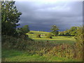
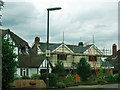
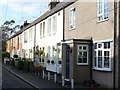
14 photos from this area
Area Information
Key information about the KT10 0RX including its size, population, and administrative classification.
- Area Type
- Postcode
- Area Size
- 1.3 hectares
- Population
- 2127
- Population Density
- 1509 people/km²
House Prices in KT10 0RX
19
Properties
£820,995
Average Sold Price
£189,950
Lowest Price
£1,375,000
Highest Price
Showing 19 properties
| Address | Type | Beds | Baths | Last Sale Price | Last Sale Date | |
|---|---|---|---|---|---|---|
| 19 The Avenue, Claygate, Esher, KT10 0RX | house | - | - | £1,375,000 | Jul 2025 | |
| 29A The Avenue, Claygate, Esher, KT10 0RX | house | - | - | £1,235,000 | Jul 2025 | |
| 11 The Avenue, Claygate, Esher, KT10 0RX | house | 5 | - | £1,188,000 | Jan 2021 | |
| 31 The Avenue, Claygate, Esher, KT10 0RX | house | 5 | - | £1,100,000 | May 2015 | |
| 5 The Avenue, Claygate, Esher, KT10 0RX | Semi-detached | 5 | - | £1,105,000 | Oct 2014 | |
| 7 The Avenue, Claygate, Esher, KT10 0RX | Semi-detached | - | - | £610,000 | Oct 2004 | |
| 9 The Avenue, Claygate, Esher, KT10 0RX | Semi-detached | - | - | £525,000 | May 2002 | |
| 33 The Avenue, Claygate, Esher, KT10 0RX | Detached | - | - | £462,000 | Jan 2001 | |
| 35A The Avenue, Claygate, Esher, KT10 0RX | house | - | - | £420,000 | Apr 2000 | |
| 15 The Avenue, Claygate, Esher, KT10 0RX | Detached | 4 | 1 | £189,950 | Mar 1996 |
Page 1 of 2
Energy Efficiency in KT10 0RX
Amenities
Schools
| Rank | School | Type | Entry gender | Ages |
|---|
Explore more schools in this area
Go to Schools tabDemographics
Household Size
Family (3-5 people)
most common
Accommodation Type
Houses
most common
Tenure
85
majority
Ethnic Group
White
most common
Religion
N/A
most common
Household Composition
N/A
most common
Age
47
median
Adults (30-64 years)
most common
Household Deprivation
N/A
with no deprivation
NS-SEC
57
in Lower managerial occupations
Explore more demographic insights in this area
Go to Demographics tabPlanning
Planning Constraints
- Flood RiskPremium
- Ramsar Wetland SitesPremium
- Area of Outstanding Natural BeautyPremium
- Protected Nature ReservePremium
- Protected WoodlandPremium