Area Overview for HP9 2YT
Photos of HP9 2YT
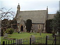
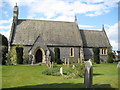
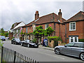
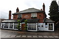
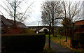
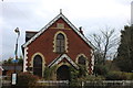
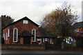
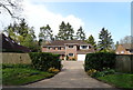
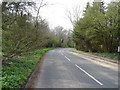
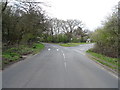
33 photos from this area
Area Information
Key information about the HP9 2YT including its size, population, and administrative classification.
- Area Type
- Postcode
- Area Size
- 1.1 hectares
- Population
- 2325
- Population Density
- 666 people/km²
House Prices in HP9 2YT
21
Properties
£451,652
Average Sold Price
£123,000
Lowest Price
£705,000
Highest Price
Showing 21 properties
| Address | Type | Beds | Baths | Last Sale Price | Last Sale Date | |
|---|---|---|---|---|---|---|
| 27 Stable Lane, Seer Green, HP9 2YT | house | 4 | 2 | £655,000 | Sep 2022 | |
| 16 Stable Lane, Seer Green, HP9 2YT | house | 4 | - | £705,000 | Mar 2021 | |
| 9 Stable Lane, Seer Green, HP9 2YT | house | - | - | £560,000 | Feb 2021 | |
| 7 Stable Lane, Seer Green, HP9 2YT | Semi-detached | 5 | 3 | £617,000 | Jul 2019 | |
| 19 Stable Lane, Seer Green, HP9 2YT | Terraced | 4 | 2 | £610,000 | Jun 2018 | |
| 25 Stable Lane, Seer Green, HP9 2YT | Terraced | 4 | 2 | £592,500 | Aug 2017 | |
| 1 Stable Lane, Seer Green, HP9 2YT | Detached | 4 | 2 | £599,000 | May 2015 | |
| 29 Stable Lane, Seer Green, HP9 2YT | Terraced | 4 | 2 | £420,000 | Jul 2014 | |
| 18 Stable Lane, Seer Green, HP9 2YT | Detached | 4 | 2 | £550,000 | Jun 2014 | |
| 10 Stable Lane, Seer Green, HP9 2YT | Detached | - | - | £389,000 | Feb 2006 |
Page 1 of 3
Energy Efficiency in HP9 2YT
Amenities
Schools
| Rank | School | Type | Entry gender | Ages |
|---|
Explore more schools in this area
Go to Schools tabDemographics
Household Size
Family (3-5 people)
most common
Accommodation Type
Houses
most common
Tenure
83
majority
Ethnic Group
White
most common
Religion
N/A
most common
Household Composition
N/A
most common
Age
47
median
Adults (30-64 years)
most common
Household Deprivation
N/A
with no deprivation
NS-SEC
55
in Lower managerial occupations
Explore more demographic insights in this area
Go to Demographics tabPlanning
Planning Constraints
- Flood RiskPremium
- Ramsar Wetland SitesPremium
- Area of Outstanding Natural BeautyPremium
- Protected Nature ReservePremium
- Protected WoodlandPremium