Area Overview for HP9 2SW
Photos of HP9 2SW
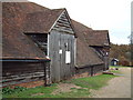
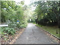
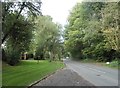
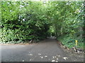
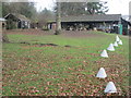
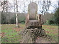
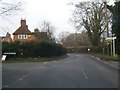
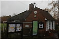
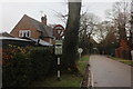
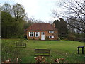
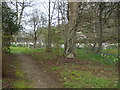
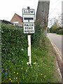
35 photos from this area
Area Information
Key information about the HP9 2SW including its size, population, and administrative classification.
- Area Type
- Postcode
- Area Size
- 18.3 hectares
- Population
- 1843
- Population Density
- 351 people/km²
House Prices in HP9 2SW
27
Properties
£1,212,700
Average Sold Price
£5,000
Lowest Price
£2,300,000
Highest Price
Showing 27 properties
| Address | Type | Beds | Baths | Last Sale Price | Last Sale Date | |
|---|---|---|---|---|---|---|
| Yew Tree House, Jordans Lane, Jordans, HP9 2SW | Detached | 5 | 3 | £2,300,000 | Sep 2023 | |
| Longlands, Jordans Lane, Jordans, HP9 2SW | house | - | - | £1,770,000 | Sep 2021 | |
| Little Leighs, Jordans Lane, Jordans, HP9 2SW | Detached | 5 | 2 | £1,580,000 | Aug 2021 | |
| Lyndhurst, Jordans Lane, Jordans, HP9 2SW | house | - | - | £1,350,000 | May 2021 | |
| Chelsey House, Jordans Lane, Jordans, HP9 2SW | Detached | 7 | 5 | £5,000 | Dec 2018 | |
| Jordans Farm, Jordans Lane, Jordans, HP9 2SW | Bungalow | 1 | - | £912,000 | May 2018 | |
| St Christophers, Jordans Lane, Jordans, HP9 2SW | house | - | - | £1,360,000 | Nov 2017 | |
| Woodside House, Jordans Lane, Jordans, HP9 2SW | Detached | - | - | £1,050,000 | Nov 2005 | |
| Jordans End, Jordans Lane, Jordans, HP9 2SW | Retail | 6 | 3 | £1,100,000 | Sep 2004 | |
| Fern House, Jordans Lane, Jordans, HP9 2SW | Detached | - | - | £700,000 | Jan 2000 |
Page 1 of 3
Energy Efficiency in HP9 2SW
Amenities
Schools
| Rank | School | Type | Entry gender | Ages |
|---|
Explore more schools in this area
Go to Schools tabDemographics
Household Size
Family (3-5 people)
most common
Accommodation Type
Houses
most common
Tenure
69
majority
Ethnic Group
White
most common
Religion
N/A
most common
Household Composition
N/A
most common
Age
47
median
Adults (30-64 years)
most common
Household Deprivation
N/A
with no deprivation
NS-SEC
46
in Lower managerial occupations
Explore more demographic insights in this area
Go to Demographics tabPlanning
Planning Constraints
- Flood RiskPremium
- Ramsar Wetland SitesPremium
- Area of Outstanding Natural BeautyPremium
- Protected Nature ReservePremium
- Protected WoodlandPremium