Area Overview for HP9 2NG
Photos of HP9 2NG
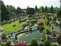
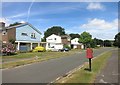
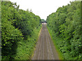
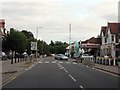
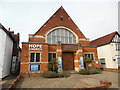
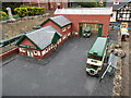
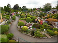
100 photos from this area
Area Information
Key information about the HP9 2NG including its size, population, and administrative classification.
- Area Type
- Postcode
- Area Size
- 1.5 hectares
- Population
- 1378
- Population Density
- 1504 people/km²
House Prices in HP9 2NG
19
Properties
£681,132
Average Sold Price
£155,000
Lowest Price
£1,300,000
Highest Price
Showing 19 properties
| Address | Type | Beds | Baths | Last Sale Price | Last Sale Date | |
|---|---|---|---|---|---|---|
| 11 Baring Crescent, Beaconsfield, HP9 2NG | Chalet | 3 | 3 | £1,300,000 | Aug 2024 | |
| 10 Baring Crescent, Beaconsfield, HP9 2NG | house | - | - | £950,000 | Feb 2024 | |
| 12 Baring Crescent, Beaconsfield, HP9 2NG | Semi-detached | 4 | 2 | £1,130,000 | Aug 2020 | |
| 25 Baring Crescent, Beaconsfield, HP9 2NG | house | 4 | - | £950,000 | Aug 2015 | |
| 6 Baring Crescent, Beaconsfield, HP9 2NG | Detached | 3 | 1 | £750,000 | Jul 2014 | |
| 9 Baring Crescent, Beaconsfield, HP9 2NG | Detached | 4 | 2 | £757,000 | Feb 2013 | |
| 15 Baring Crescent, Beaconsfield, HP9 2NG | Detached | 4 | 3 | £902,000 | Oct 2012 | |
| Coppins, 7 Baring Crescent, Beaconsfield, HP9 2NG | Bungalow | 3 | - | £575,000 | Jun 2011 | |
| 2 Baring Crescent, Beaconsfield, HP9 2NG | Detached | - | - | £533,500 | Aug 2007 | |
| 3 Baring Crescent, Beaconsfield, HP9 2NG | Detached | - | - | £690,000 | Jun 2006 |
Page 1 of 2
Energy Efficiency in HP9 2NG
Amenities
Schools
| Rank | School | Type | Entry gender | Ages |
|---|
Explore more schools in this area
Go to Schools tabDemographics
Household Size
Family (3-5 people)
most common
Accommodation Type
Houses
most common
Tenure
91
majority
Ethnic Group
White
most common
Religion
N/A
most common
Household Composition
N/A
most common
Age
47
median
Adults (30-64 years)
most common
Household Deprivation
N/A
with no deprivation
NS-SEC
64
in Lower managerial occupations
Explore more demographic insights in this area
Go to Demographics tabPlanning
Planning Constraints
- Flood RiskPremium
- Ramsar Wetland SitesPremium
- Area of Outstanding Natural BeautyPremium
- Protected Nature ReservePremium
- Protected WoodlandPremium