Area Overview for HP9 2HD
Photos of HP9 2HD
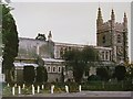
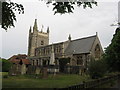
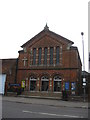
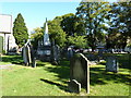
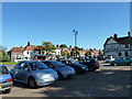
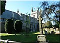
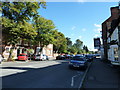
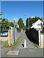
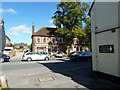
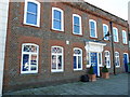
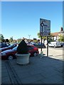
99 photos from this area
Area Information
Key information about the HP9 2HD including its size, population, and administrative classification.
- Area Type
- Postcode
- Area Size
- 7975 m²
- Population
- 1828
- Population Density
- 2404 people/km²
House Prices in HP9 2HD
20
Properties
£503,944
Average Sold Price
£114,000
Lowest Price
£800,000
Highest Price
Showing 20 properties
| Address | Type | Beds | Baths | Last Sale Price | Last Sale Date | |
|---|---|---|---|---|---|---|
| 17 Waller Road, Beaconsfield, HP9 2HD | Retail | 3 | 2 | £722,500 | Oct 2022 | |
| 27 Waller Road, Beaconsfield, HP9 2HD | Semi-detached | 4 | 2 | £800,000 | Jun 2022 | |
| 3 Waller Road, Beaconsfield, HP9 2HD | Retail | 3 | 1 | £630,000 | Apr 2022 | |
| 41 Waller Road, Beaconsfield, HP9 2HD | Terraced | 3 | 1 | £475,000 | Feb 2021 | |
| 35 Waller Road, Beaconsfield, HP9 2HD | house | - | - | £667,000 | Oct 2017 | |
| 19 Waller Road, Beaconsfield, HP9 2HD | Semi-detached | 3 | 1 | £555,000 | Jun 2016 | |
| 1 Waller Road, Beaconsfield, HP9 2HD | Semi-detached | - | - | £340,000 | Oct 2008 | |
| 37 Waller Road, Beaconsfield, HP9 2HD | Semi-detached | - | - | £232,000 | Mar 2003 | |
| 11 Waller Road, Beaconsfield, HP9 2HD | Semi-detached | - | - | £114,000 | Nov 1997 | |
| 25 Waller Road, Beaconsfield, HP9 2HD | Semi-detached | 3 | 1 | - | - |
Page 1 of 2
Energy Efficiency in HP9 2HD
Amenities
Schools
| Rank | School | Type | Entry gender | Ages |
|---|
Explore more schools in this area
Go to Schools tabDemographics
Household Size
One person
most common
Accommodation Type
Houses
most common
Tenure
51
majority
Ethnic Group
White
most common
Religion
N/A
most common
Household Composition
N/A
most common
Age
47
median
Adults (30-64 years)
most common
Household Deprivation
N/A
with no deprivation
NS-SEC
44
in Lower managerial occupations
Explore more demographic insights in this area
Go to Demographics tabPlanning
Planning Constraints
- Flood RiskPremium
- Ramsar Wetland SitesPremium
- Area of Outstanding Natural BeautyPremium
- Protected Nature ReservePremium
- Protected WoodlandPremium