Area Overview for HP9 2DG
Photos of HP9 2DG
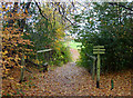
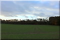
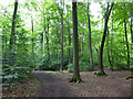
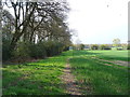
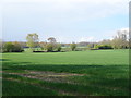
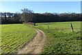
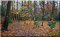
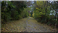
13 photos from this area
Area Information
Key information about the HP9 2DG including its size, population, and administrative classification.
- Area Type
- Postcode
- Area Size
- 37.7 hectares
- Population
- 1819
- Population Density
- 346 people/km²
House Prices in HP9 2DG
24
Properties
£2,115,625
Average Sold Price
£810,000
Lowest Price
£3,600,000
Highest Price
Showing 24 properties
| Address | Type | Beds | Baths | Last Sale Price | Last Sale Date | |
|---|---|---|---|---|---|---|
| Coppers, 80 Ledborough Lane, Beaconsfield, HP9 2DG | house | 6 | 7 | £3,600,000 | May 2022 | |
| Amberwood, 68 Ledborough Lane, Beaconsfield, HP9 2DG | house | - | - | £2,950,000 | Dec 2021 | |
| 74 Ledborough Lane, Beaconsfield, HP9 2DG | Detached | 6 | 5 | £1,870,000 | Feb 2020 | |
| Beechwood, 68A Ledborough Lane, Beaconsfield, HP9 2DG | house | - | - | £2,560,000 | Mar 2017 | |
| 64 Ledborough Lane, Beaconsfield, HP9 2DG | house | - | - | £2,100,000 | Apr 2016 | |
| Summerfield House, 86 Ledborough Lane, Beaconsfield, HP9 2DG | house | 5 | - | £1,535,000 | Sep 2013 | |
| Ledborough Lodge, Ledborough Lane, Beaconsfield, HP9 2DG | Bungalow | 3 | - | £810,000 | Nov 2009 | |
| 66 Ledborough Lane, Beaconsfield, HP9 2DG | Detached | 7 | 4 | £1,500,000 | Jul 2003 | |
| Apartment 6, Manor House, 70 Ledborough Lane, Beaconsfield, HP9 2DG | Flat | 2 | 2 | - | - | |
| Ledborough, Ledborough Lane, Beaconsfield, HP9 2DG | Detached | 2 | 2 | - | - |
Page 1 of 3
Energy Efficiency in HP9 2DG
Amenities
Schools
| Rank | School | Type | Entry gender | Ages |
|---|
Explore more schools in this area
Go to Schools tabDemographics
Household Size
Two person
most common
Accommodation Type
Houses
most common
Tenure
84
majority
Ethnic Group
White
most common
Religion
N/A
most common
Household Composition
N/A
most common
Age
47
median
Adults (30-64 years)
most common
Household Deprivation
N/A
with no deprivation
NS-SEC
59
in Lower managerial occupations
Explore more demographic insights in this area
Go to Demographics tabPlanning
Planning Constraints
- Flood RiskPremium
- Ramsar Wetland SitesPremium
- Area of Outstanding Natural BeautyPremium
- Protected Nature ReservePremium
- Protected WoodlandPremium