Area Overview for HP9 1TZ
Photos of HP9 1TZ
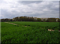
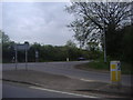
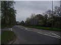
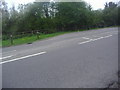
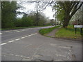
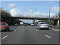
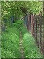
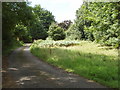
56 photos from this area
Area Information
Key information about the HP9 1TZ including its size, population, and administrative classification.
- Area Type
- Postcode
- Area Size
- 1.8 hectares
- Population
- 1679
- Population Density
- 531 people/km²
House Prices in HP9 1TZ
29
Properties
£616,200
Average Sold Price
£290,000
Lowest Price
£1,000,000
Highest Price
Showing 29 properties
| Address | Type | Beds | Baths | Last Sale Price | Last Sale Date | |
|---|---|---|---|---|---|---|
| 25 North Drive, Holtspur, Beaconsfield, HP9 1TZ | Semi-detached | 2 | 1 | £625,000 | Dec 2024 | |
| 27 North Drive, Holtspur, Beaconsfield, HP9 1TZ | Detached | 3 | 2 | £1,000,000 | Oct 2023 | |
| 13 North Drive, Holtspur, Beaconsfield, HP9 1TZ | Semi-detached | 3 | 2 | £670,000 | Sep 2023 | |
| Brighouse, 33 North Drive, Holtspur, Beaconsfield, HP9 1TZ | house | - | - | £875,000 | Jul 2021 | |
| 17 North Drive, Holtspur, Beaconsfield, HP9 1TZ | Semi-detached | 3 | 2 | £632,500 | Feb 2021 | |
| 31 North Drive, Holtspur, Beaconsfield, HP9 1TZ | Detached | 5 | - | £920,500 | Nov 2020 | |
| 5 North Drive, Holtspur, Beaconsfield, HP9 1TZ | Semi-detached | 3 | 2 | £575,000 | Jun 2018 | |
| 11A North Drive, Holtspur, Beaconsfield, HP9 1TZ | house | - | - | £535,000 | Jun 2014 | |
| 5A North Drive, Holtspur, Beaconsfield, HP9 1TZ | Terraced | 3 | 2 | £565,000 | May 2014 | |
| 7A North Drive, Holtspur, Beaconsfield, HP9 1TZ | house | 3 | 2 | £545,000 | May 2014 |
Page 1 of 3
Energy Efficiency in HP9 1TZ
Amenities
Schools
| Rank | School | Type | Entry gender | Ages |
|---|
Explore more schools in this area
Go to Schools tabDemographics
Household Size
Family (3-5 people)
most common
Accommodation Type
Houses
most common
Tenure
86
majority
Ethnic Group
White
most common
Religion
N/A
most common
Household Composition
N/A
most common
Age
47
median
Adults (30-64 years)
most common
Household Deprivation
N/A
with no deprivation
NS-SEC
59
in Lower managerial occupations
Explore more demographic insights in this area
Go to Demographics tabPlanning
Planning Constraints
- Flood RiskPremium
- Ramsar Wetland SitesPremium
- Area of Outstanding Natural BeautyPremium
- Protected Nature ReservePremium
- Protected WoodlandPremium