Area Overview for HP9 1EX
Photos of HP9 1EX
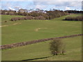
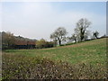
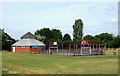
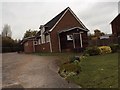
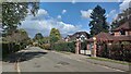
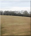
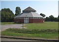
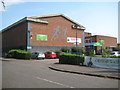
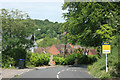
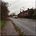
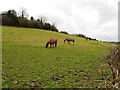
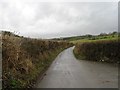
16 photos from this area
Area Information
Key information about the HP9 1EX including its size, population, and administrative classification.
- Area Type
- Postcode
- Area Size
- 2.3 hectares
- Population
- 1679
- Population Density
- 531 people/km²
House Prices in HP9 1EX
20
Properties
£1,698,154
Average Sold Price
£543,000
Lowest Price
£2,480,000
Highest Price
Showing 20 properties
| Address | Type | Beds | Baths | Last Sale Price | Last Sale Date | |
|---|---|---|---|---|---|---|
| Pine Haven, 28 Burgess Wood Road South, Beaconsfield, HP9 1EX | Detached | 6 | 5 | £2,480,000 | Jan 2024 | |
| Newlands, 23A Burgess Wood Road South, Beaconsfield, HP9 1EX | Detached | 6 | 5 | £1,700,000 | Oct 2023 | |
| Melbourne House, 23 Burgess Wood Road South, Beaconsfield, HP9 1EX | house | 6 | - | £1,798,000 | Aug 2022 | |
| Cherry Tree House, 13 Burgess Wood Road South, Beaconsfield, HP9 1EX | Detached | 6 | 5 | £2,000,000 | Jul 2019 | |
| Argyll House, 17 Burgess Wood Road South, Beaconsfield, HP9 1EX | Detached | 5 | 3 | £1,530,000 | Dec 2015 | |
| Burgess Wood Grange, 19 Burgess Wood Road South, Beaconsfield, HP9 1EX | Detached | 6 | 5 | £2,350,000 | Aug 2014 | |
| 21 Burgess Wood Road South, Beaconsfield, HP9 1EX | Detached | 6 | - | £2,325,000 | Jul 2014 | |
| The Knoll, 24 Burgess Wood Road South, Beaconsfield, HP9 1EX | Detached | 4 | - | £1,150,000 | Mar 2014 | |
| 26 Burgess Wood Road South, Beaconsfield, HP9 1EX | Detached | - | - | £1,600,000 | Nov 2012 | |
| Hytech House, 27 Burgess Wood Road South, Beaconsfield, HP9 1EX | Detached | - | - | £1,700,000 | Apr 2008 |
Page 1 of 2
Energy Efficiency in HP9 1EX
Amenities
Schools
| Rank | School | Type | Entry gender | Ages |
|---|
Explore more schools in this area
Go to Schools tabDemographics
Household Size
Family (3-5 people)
most common
Accommodation Type
Houses
most common
Tenure
86
majority
Ethnic Group
White
most common
Religion
N/A
most common
Household Composition
N/A
most common
Age
47
median
Adults (30-64 years)
most common
Household Deprivation
N/A
with no deprivation
NS-SEC
59
in Lower managerial occupations
Explore more demographic insights in this area
Go to Demographics tabPlanning
Planning Constraints
- Flood RiskPremium
- Ramsar Wetland SitesPremium
- Area of Outstanding Natural BeautyPremium
- Protected Nature ReservePremium
- Protected WoodlandPremium