Area Overview for HP9 1BD
Photos of HP9 1BD
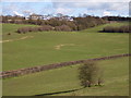
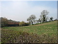
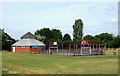
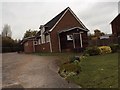
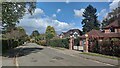
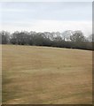
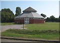
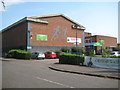
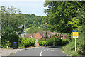
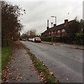
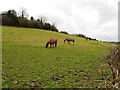
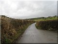
16 photos from this area
Area Information
Key information about the HP9 1BD including its size, population, and administrative classification.
- Area Type
- Postcode
- Area Size
- 3.0 hectares
- Population
- 1679
- Population Density
- 531 people/km²
House Prices in HP9 1BD
42
Properties
£635,557
Average Sold Price
£139,000
Lowest Price
£1,550,000
Highest Price
Showing 42 properties
| Address | Type | Beds | Baths | Last Sale Price | Last Sale Date | |
|---|---|---|---|---|---|---|
| 136 Cherry Tree Road, Beaconsfield, HP9 1BD | Detached | 5 | 2 | £970,000 | Mar 2025 | |
| 127 Cherry Tree Road, Beaconsfield, HP9 1BD | house | - | - | £850,000 | Apr 2024 | |
| 125 Cherry Tree Road, Beaconsfield, HP9 1BD | Detached | 3 | 1 | £795,000 | Mar 2024 | |
| 134 Cherry Tree Road, Beaconsfield, HP9 1BD | house | - | - | £868,000 | Feb 2023 | |
| 121 Cherry Tree Road, Beaconsfield, HP9 1BD | Detached | 3 | 1 | £775,000 | Sep 2021 | |
| 142 Cherry Tree Road, Beaconsfield, HP9 1BD | house | - | - | £825,000 | Sep 2020 | |
| 123 Cherry Tree Road, Beaconsfield, HP9 1BD | Detached | 3 | 2 | £1,550,000 | Mar 2020 | |
| 132 Cherry Tree Road, Beaconsfield, HP9 1BD | house | - | - | £741,000 | Jun 2019 | |
| 139 Cherry Tree Road, Beaconsfield, HP9 1BD | Detached | 4 | 1 | £720,000 | Mar 2018 | |
| 122 Cherry Tree Road, Beaconsfield, HP9 1BD | Detached | 4 | 1 | £575,000 | Jun 2016 |
Page 1 of 5
Energy Efficiency in HP9 1BD
Amenities
Schools
| Rank | School | Type | Entry gender | Ages |
|---|
Explore more schools in this area
Go to Schools tabDemographics
Household Size
Family (3-5 people)
most common
Accommodation Type
Houses
most common
Tenure
86
majority
Ethnic Group
White
most common
Religion
N/A
most common
Household Composition
N/A
most common
Age
47
median
Adults (30-64 years)
most common
Household Deprivation
N/A
with no deprivation
NS-SEC
59
in Lower managerial occupations
Explore more demographic insights in this area
Go to Demographics tabPlanning
Planning Constraints
- Flood RiskPremium
- Ramsar Wetland SitesPremium
- Area of Outstanding Natural BeautyPremium
- Protected Nature ReservePremium
- Protected WoodlandPremium