Area Overview for HP9 1AJ
Photos of HP9 1AJ
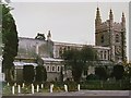
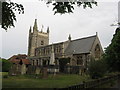
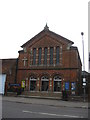
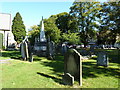
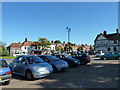
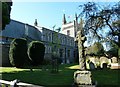
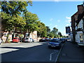
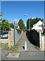
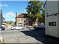
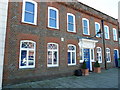
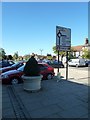
99 photos from this area
Area Information
Key information about the HP9 1AJ including its size, population, and administrative classification.
- Area Type
- Postcode
- Area Size
- 1.2 hectares
- Population
- 1710
- Population Density
- 231 people/km²
House Prices in HP9 1AJ
30
Properties
£490,000
Average Sold Price
£78,000
Lowest Price
£855,000
Highest Price
Showing 30 properties
| Address | Type | Beds | Baths | Last Sale Price | Last Sale Date | |
|---|---|---|---|---|---|---|
| 23 Ronald Road, Beaconsfield, HP9 1AJ | Semi-detached | 3 | 2 | £830,000 | Jan 2023 | |
| 17 Ronald Road, Beaconsfield, HP9 1AJ | house | - | - | £650,000 | Sep 2021 | |
| 21 Ronald Road, Beaconsfield, HP9 1AJ | Semi-detached | 3 | 1 | £505,000 | Jan 2021 | |
| 14 Ronald Road, Beaconsfield, HP9 1AJ | Semi-detached | 4 | 2 | £628,000 | Oct 2020 | |
| 27 Ronald Road, Beaconsfield, HP9 1AJ | Detached | 4 | 2 | £810,000 | Nov 2019 | |
| 32 Ronald Road, Beaconsfield, HP9 1AJ | Semi-detached | 3 | 1 | £575,000 | Mar 2016 | |
| 31 Ronald Road, Beaconsfield, HP9 1AJ | Semi-detached | 3 | 2 | £525,000 | Jun 2015 | |
| Rosecroft, 29 Ronald Road, Beaconsfield, HP9 1AJ | Bungalow | 4 | - | £550,000 | Aug 2013 | |
| 30 Ronald Road, Beaconsfield, HP9 1AJ | house | 3 | - | £350,000 | Aug 2010 | |
| 16 Ronald Road, Beaconsfield, HP9 1AJ | Terraced | 2 | 1 | £855,000 | Dec 2007 |
Page 1 of 3
Energy Efficiency in HP9 1AJ
Amenities
Schools
| Rank | School | Type | Entry gender | Ages |
|---|
Explore more schools in this area
Go to Schools tabDemographics
Household Size
Family (3-5 people)
most common
Accommodation Type
Houses
most common
Tenure
47
majority
Ethnic Group
White
most common
Religion
N/A
most common
Household Composition
N/A
most common
Age
47
median
Adults (30-64 years)
most common
Household Deprivation
N/A
with no deprivation
NS-SEC
42
in Lower managerial occupations
Explore more demographic insights in this area
Go to Demographics tabPlanning
Planning Constraints
- Flood RiskPremium
- Ramsar Wetland SitesPremium
- Area of Outstanding Natural BeautyPremium
- Protected Nature ReservePremium
- Protected WoodlandPremium