Area Overview for HP8 4JD
Photos of HP8 4JD
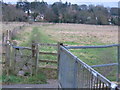
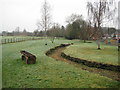
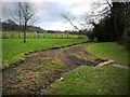
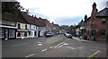
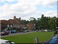
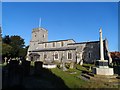
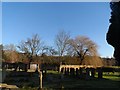
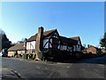
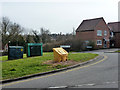
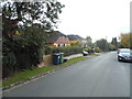
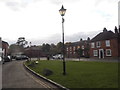
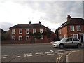
73 photos from this area
Area Information
Key information about the HP8 4JD including its size, population, and administrative classification.
- Area Type
- Postcode
- Area Size
- 3.4 hectares
- Population
- 1701
- Population Density
- 471 people/km²
House Prices in HP8 4JD
20
Properties
£669,075
Average Sold Price
£314,950
Lowest Price
£1,175,000
Highest Price
Showing 20 properties
| Address | Type | Beds | Baths | Last Sale Price | Last Sale Date | |
|---|---|---|---|---|---|---|
| 16 The Brow, Chalfont St Giles, HP8 4JD | Detached | 4 | 2 | £1,175,000 | Mar 2023 | |
| 6 The Brow, Chalfont St Giles, HP8 4JD | house | - | - | £845,000 | Oct 2020 | |
| Oakwood, 10 The Brow, Chalfont St Giles, HP8 4JD | Detached | 4 | - | £849,950 | Jun 2018 | |
| 4 The Brow, Chalfont St Giles, HP8 4JD | Detached | 4 | 2 | £840,000 | Jul 2017 | |
| Westridge, 6B The Brow, Chalfont St Giles, HP8 4JD | Detached | 4 | 2 | £800,000 | Aug 2014 | |
| 24 The Brow, Chalfont St Giles, HP8 4JD | Detached | - | - | £750,000 | Jan 2007 | |
| 5 The Brow, Chalfont St Giles, HP8 4JD | Detached | - | - | £782,000 | Sep 2006 | |
| 2 The Brow, Chalfont St Giles, HP8 4JD | Detached | 4 | - | £530,000 | May 2003 | |
| 12 The Brow, Chalfont St Giles, HP8 4JD | Detached | - | - | £395,000 | May 2000 | |
| 14 The Brow, Chalfont St Giles, HP8 4JD | Detached | - | - | £420,000 | May 2000 |
Page 1 of 2
Energy Efficiency in HP8 4JD
Amenities
Schools
| Rank | School | Type | Entry gender | Ages |
|---|
Explore more schools in this area
Go to Schools tabDemographics
Household Size
Two person
most common
Accommodation Type
Houses
most common
Tenure
90
majority
Ethnic Group
White
most common
Religion
N/A
most common
Household Composition
N/A
most common
Age
47
median
Adults (30-64 years)
most common
Household Deprivation
N/A
with no deprivation
NS-SEC
54
in Lower managerial occupations
Explore more demographic insights in this area
Go to Demographics tabPlanning
Planning Constraints
- Flood RiskPremium
- Ramsar Wetland SitesPremium
- Area of Outstanding Natural BeautyPremium
- Protected Nature ReservePremium
- Protected WoodlandPremium