Area Overview for HP8 4AB
Photos of HP8 4AB
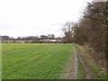
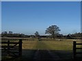
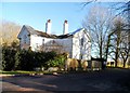
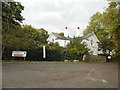
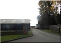
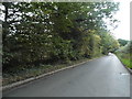
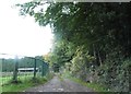
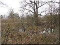
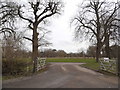
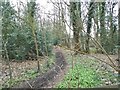
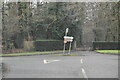
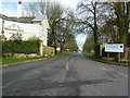
20 photos from this area
Area Information
Key information about the HP8 4AB including its size, population, and administrative classification.
- Area Type
- Postcode
- Area Size
- 1.7 km²
- Population
- 1184
- Population Density
- 335 people/km²
House Prices in HP8 4AB
100
Properties
£1,102,000
Average Sold Price
£635,000
Lowest Price
£1,845,000
Highest Price
Showing 100 properties (first 250)
| Address | Type | Beds | Baths | Last Sale Price | Last Sale Date | |
|---|---|---|---|---|---|---|
| 1, Meadow View, Gorelands Lane, Chalfont St Giles, HP8 4AB | Semi-detached | 3 | 2 | £826,000 | Sep 2021 | |
| Shrubs Cottage, Gorelands Lane, Chalfont St Giles, HP8 4AB | Detached | 5 | 3 | £1,845,000 | Jan 2020 | |
| Rowan Cottage, Gorelands Lane, Chalfont St Giles, HP8 4AB | Detached | 6 | 3 | £635,000 | Jul 2010 | |
| Staff House 1, Newland Park, Gorelands Lane, Chalfont St Giles, HP8 4AB | Detached | 3 | 2 | - | - | |
| Oak House, Newland Park, Gorelands Lane, Chalfont St Giles, HP8 4AB | Semi-detached | 3 | 3 | - | - | |
| St Giles Quad Block J Flat 1, Newland Park, Gorelands Lane, Chalfont St Giles, HP8 4AB | Detached | 3 | 3 | - | - | |
| St Giles Quad Block B Flat 2, Newland Park, Gorelands Lane, Chalfont St Giles, HP8 4AB | Detached | 3 | 3 | - | - | |
| Lodge Cottage, Newland Park, Gorelands Lane, Chalfont St Giles, HP8 4AB | Detached | 3 | 3 | - | - | |
| St Peters Hostel, Newland Park, Gorelands Lane, Chalfont St Giles, HP8 4AB | Flat | 2 | 3 | - | - | |
| Shrubs Wood, Gorelands Lane, Chalfont St Giles, HP8 4AB | Detached | 6 | 6 | - | - |
Page 1 of 10
Energy Efficiency in HP8 4AB
Amenities
Schools
| Rank | School | Type | Entry gender | Ages |
|---|
Explore more schools in this area
Go to Schools tabDemographics
Household Size
Family (3-5 people)
most common
Accommodation Type
Houses
most common
Tenure
81
majority
Ethnic Group
White
most common
Religion
N/A
most common
Household Composition
N/A
most common
Age
47
median
Adults (30-64 years)
most common
Household Deprivation
N/A
with no deprivation
NS-SEC
50
in Lower managerial occupations
Explore more demographic insights in this area
Go to Demographics tabPlanning
Planning Constraints
- Flood RiskPremium
- Ramsar Wetland SitesPremium
- Area of Outstanding Natural BeautyPremium
- Protected Nature ReservePremium
- Protected WoodlandPremium