Area Overview for HP7 9DT
Photos of HP7 9DT
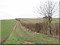
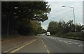
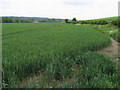
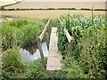

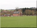
11 photos from this area
Area Information
Key information about the HP7 9DT including its size, population, and administrative classification.
- Area Type
- Postcode
- Area Size
- 71.3 hectares
- Population
- 1514
- Population Density
- 248 people/km²
House Prices in HP7 9DT
16
Properties
£608,921
Average Sold Price
£470,000
Lowest Price
£852,500
Highest Price
Showing 16 properties
| Address | Type | Beds | Baths | Last Sale Price | Last Sale Date | |
|---|---|---|---|---|---|---|
| Lilleshall, London Road East, Amersham, HP7 9DT | house | 3 | - | £852,500 | Jun 2021 | |
| Homestead, London Road East, Amersham, HP7 9DT | Detached | 4 | 1 | £595,000 | Dec 2015 | |
| Grovenne, London Road East, Amersham, HP7 9DT | house | - | - | £540,000 | May 2015 | |
| Keswick, London Road East, Amersham, HP7 9DT | Detached | 4 | 2 | £499,950 | Jun 2014 | |
| Bowlands, London Road East, Amersham, HP7 9DT | Detached | 5 | - | £530,000 | Dec 2013 | |
| Cartwheel Grove, London Road East, Amersham, HP7 9DT | Detached | - | - | £775,000 | Jul 2008 | |
| Quarrendon Mill, London Road East, Amersham, HP7 9DT | house | - | - | £470,000 | May 1997 | |
| K C And Co Builders, Council Depot, London Road East, Amersham, HP7 9DT | warehouse | - | - | - | - | |
| St Giles House, Council Depot, London Road East, Amersham, HP7 9DT | Industrial | - | - | - | - | |
| Greenbanks, London Road East, Amersham, HP7 9DT | Detached | - | - | - | - |
Page 1 of 2
Energy Efficiency in HP7 9DT
Amenities
Schools
| Rank | School | Type | Entry gender | Ages |
|---|
Explore more schools in this area
Go to Schools tabDemographics
Household Size
Family (3-5 people)
most common
Accommodation Type
Houses
most common
Tenure
76
majority
Ethnic Group
White
most common
Religion
N/A
most common
Household Composition
N/A
most common
Age
47
median
Adults (30-64 years)
most common
Household Deprivation
N/A
with no deprivation
NS-SEC
46
in Lower managerial occupations
Explore more demographic insights in this area
Go to Demographics tabPlanning
Planning Constraints
- Flood RiskPremium
- Ramsar Wetland SitesPremium
- Area of Outstanding Natural BeautyPremium
- Protected Nature ReservePremium
- Protected WoodlandPremium